filmov
tv
Advanced Custom Raster Processing Using Python

Показать описание
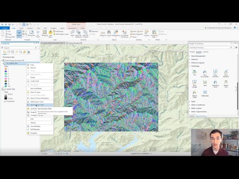
Python is a powerful approach to extending ArcGIS with custom analysis of GIS raster data and remotely sensed imagery. This session will cover advanced concepts such as Python Raster Functions and PixelBlocks. The session will also introduce you to new ArcPy APIs for working more efficiently with cells/pixels.
📚 Resources
=============
Questions? We'd love to answer them on Esri Community!
👉 Follow us
=============
12259
📚 Resources
=============
Questions? We'd love to answer them on Esri Community!
👉 Follow us
=============
12259
 0:58:05
 0:57:37
 0:31:50
 0:50:48
 0:27:07
 0:55:07
 0:04:14
 0:28:03
 0:17:57
 0:57:39
 0:05:43
 0:04:34
 0:56:25
 0:59:30
 0:22:25
 0:09:50
 0:59:47
 1:19:25
 0:15:40
 0:59:55
 1:01:01
 0:03:33
 0:00:18
 0:14:21