filmov
tv
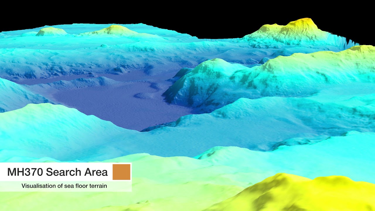
Flythrough of bathymetry 2015
Показать описание
The disappearance of Malaysian Airlines flight MH370 on 8 March 2014 led to a deep ocean search effort of unprecedented scale and detail in the remote southeastern Indian Ocean. Between June 2014 and January 2017, two mapping phases took place: (1) a shipborne bathymetric survey, and (2) a higher-resolution search in areas where accurate mapping of the seafloor was required to guide the detailed underwater search aimed at locating the aircraft wreckage. The latter phase used sidescan, multibeam and synthetic aperture sonar mounted on towed or autonomous underwater vehicles (AUVs). This article describes the mapping of the area where the aircraft was expected to be found.
 0:00:53
 0:00:54
 0:02:03
 0:02:49
 0:01:02
 0:01:42
 0:00:48
 0:00:24
 0:00:25
 0:01:09
 0:00:36
 0:00:10
 0:03:19
 0:01:15
 0:00:22
 0:04:19
 0:07:03
 0:02:01
 0:05:03
 0:02:51
 0:01:35
 0:01:56
 0:00:20
 0:01:50