filmov
tv
Leica Geosystems Airborne Bathymetric Solutions

Показать описание
Leica Geosystems airborne bathymetric LiDAR sensors provide seamless data from water to land and seafloor coverage of up to 50 m water penetration. Combined with Leica LiDAR Survey Studio they offer a complete solution for hydrographic surveying.
 0:02:49
Leica Geosystems Airborne Bathymetric Solutions
 0:01:47
Leica Chiroptera-5 Bathymetric & Topographic LiDAR sensor
 0:06:40
Leica Geosystems’ unique mechanical Forward-Motion-Compensation (FMC) for airborne sensors
 0:01:41
Leica CountryMapper Hybrid Airborne Sensor
 0:07:23
Airborne Movie 2012
 0:01:56
Leica RealTerrain - Airborne Reality Capture with Single Photon LiDAR Technology
 0:02:11
Leica RealCity - Airborne Reality Capture
 0:02:27
Leica TerrainMapper - Airborne reality capture with new generation linear-mode LiDAR technology
 0:02:01
Intelligent Aerial Construction
 0:00:37
Leica TerrainMapper capturing complex mountainous terrain
 0:01:36
Leica DMC-4 Airborne Imaging Sensor
 0:01:58
Leica Aibot SX - Intelligent Aerial Surveying
 0:01:05
CEE HydroSystems CEE-USV Bathymetry and LiDAR - NovAtel, Velodyne and Leica GNSS
 0:01:18
Leica Geosystems’ CityMapper-TerrainMapper Modularity
 0:02:03
Leica ContentMapper - Unmatched efficiency for large scale content collection
 0:00:06
Bathymetric Surveying
 0:05:43
Geomatics Data Solutions purchases Leica Chiroptera II
 0:04:37
Introducing Leica Real Terrain
 0:06:44
Zeiss/Intergraph-Leica GeoSystems-Midwest Aerial Video
 0:00:42
Leica TerrainMapper Data - Milan Downtown
 0:02:34
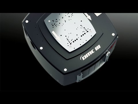
Leica DMC III - breaking new ground
 0:00:35
Bathymetric Lidar from 150 feet AGL - or above water surface
 0:00:40
Leica Aibot AX20 demo flight and dense cloud in Infinity
 0:02:51
One Flight, Twice the Data (TV434)
Комментарии