filmov
tv
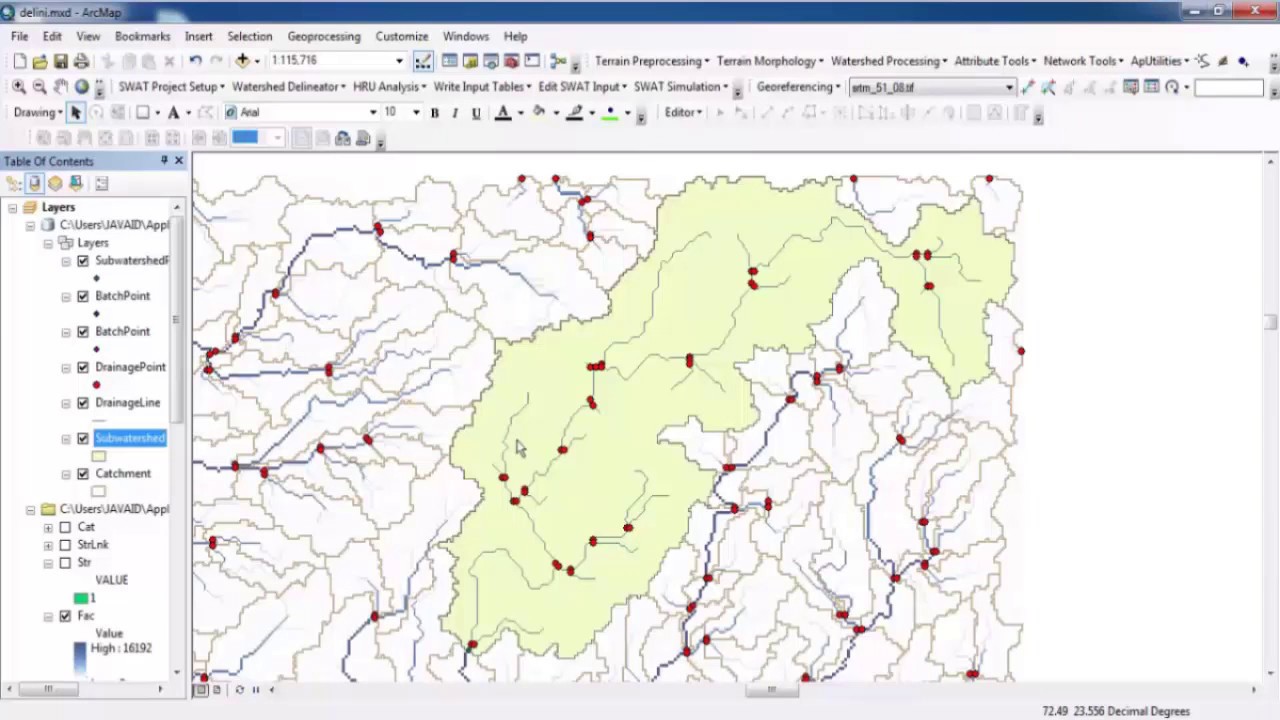
Watershed Delineation in GIS Very Easy Method
Показать описание
In this tutorial you will learn about that how Watershed Delineate in ArcGIS.
Watershed, the region drained into a river, river system or to any other downstream region."
Watershed delineation means is that you're drawing lines on a map to identify a watershed's boundaries. These are typically drawn on topographic maps or DEM using information from contour lines.
Watersheds are always physically delineated by the area upstream from a given outlet point. This generally means that for a stream network, the contributing area upstream to a ridge line. Ridge lines separate watersheds from each other.
This is very easy method hope you will find it best for learning.
 0:12:19
Watershed Delineation Using DEM Data (Full) - ArcGIS
 0:07:52
Watershed Delineation in ArcGIS | How to create Drainage Map
 0:07:00
Watershed Delineation in GIS Very Easy Method
 0:09:33
Delineate watershed area in QGIS || Delineate catchment area in QGIS
 0:13:13
Watershed Delineation using ArcGIS from DEM - Simple and Straightforward
 0:26:15
ArcGIS complete course Watershed Delineation and Drainage line from DEM
 0:06:37
Watershed Delineation using ArcGIS from DEM - Basin in ArcGIS 10.8
 0:33:48
Deriving Rivers and Watersheds using ArcGIS Pro
 0:12:21
How to use a DEM to delineate a Watershed/Basin in ArcGIS
 0:30:45
Detail Watershed Delineation using DEM in #ArcGIS
 0:05:44
Hydrology: Watershed Delineation Example
 0:13:00
Watershed Delineation in ArcGIS from DEM Data || Drainage Map
 0:15:52
Watershed Delineation using ArcSWAT Extension of ArcGIS from DEM data: very short and easy
 0:09:57
Watershed Delineation in GIS
 0:14:13
watershed delineation in ArcGis
 0:12:20
Watershed delineation in ArcMap
 0:06:30
Catchment Delineation in ArcGIS|| Watershed Delineation in ArcGIS
 0:27:37
Watershed Delineation and Watershed Characteristics in ArcGIS Pro
 0:07:51
Automatic Extraction of Watershed using DEM data
 0:35:19
Watershed Delineation Using ArcGIS Pro | Step-by-Step Tutorial
 0:09:46
How to delineate Watershed Using Outlet Point in ArcGIS: Pour Point Hydrology
 0:25:36
How to Delineate Watershed using DEM data in ArcGIS Pro
 0:10:16
Watershed Delineation uisng ArcHydro Tool in ArcGIS
 0:10:01
Watershed Delineation in ArcMap
Комментарии