filmov
tv
Using NASA Data to Monitor Drought and Food Insecurity

Показать описание
NASA's satellite imagery and model forecasts play an important role in monitoring the performance of crops worldwide and preparing for food shortages. NASA's view from space helps government agencies forecast food insecurity, like during the drought in Southern Africa in 2018.
Music credit: Anticipating Outcomes by Simon Begg [PRS]
Credit: NASA's Goddard Space Flight Center
Kathryn Mersmann (USRA): Lead Producer
Maria-Jose Vinas Garcia (Telophase): Lead Writer
Ellen T. Gray (ADNET): Producer
Trent L. Schindler (USRA): Lead Visualizer
Christa Peters-Lidard (NASA/GSFC): Scientist
John D. Bolten (NASA/GSFC): Scientist
Amy McNally (SAIC): Scientist
Follow NASA’s Goddard Space Flight Center
 0:01:18
Using NASA Data to Monitor Drought and Food Insecurity
 0:01:18
Using NASA Data to Monitor Drought and Food Insecurity
 0:03:31
Connect the Drops with NASA Data
 0:46:45
NASA ARSET: Platforms and Sensors for Observations, Data Access, and Processing Tools, Part 2/4
 0:05:11
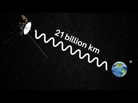
How Is NASA Still in Contact With The Voyagers?
 0:42:02
NASA ARSET: Monitoring Volcanoes, Earthquakes, and Tsunamis, Session 1/4
 0:57:09
NASA ARSET: Calculate SPI based on IMERG to Monitor Wet and Dry Conditions, Part 2/3
 0:02:32
NASA Satellites Keep Watch on U.S. Food Supply
 0:00:34
NASA api is EPIC! (Literally)
 0:59:14
Exploring Earth’s Land Surface with Suomi NPP NASA VIIRS Land Data
 0:08:28
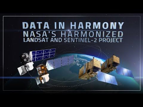
Data in Harmony: NASA's Harmonized Landsat and Sentinel-2 Project
 1:43:26
NASA ARSET: Groundwater Monitoring using Observations from NASA’s GRACE Missions
 0:20:04
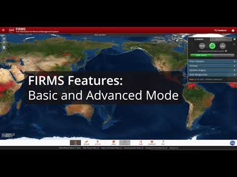
How to Use NASA’s Fire Information for Resource Management System (FIRMS)
 0:00:38
GLOBE Citizen Science with NASA
 0:00:47
NASA Beamed This Cat Video From Space
 0:09:04
Ankur Shah | How to make an IMPACT with NASA data
 1:31:50
NASA ARSET: Platforms and Sensors for Ocean Observations, Data Access, & Processing Tools, Part ...
 0:03:44
NASA | Landsat: Making a Difference, One User At A Time
 0:00:54
It is Back! Voyager 1 Returns Data from All 4 Instruments – Full Update!
 0:00:39
5G vs Starlink SPEED TEST
 0:02:58
NASA | ABI: The Future of Weather Monitoring
 0:00:27
How to Fix Slow Internet
 0:45:16
Subset NASA Ozone Monitoring Instrument Data with the GES DISC Level 2 Data Subsetter
 0:00:50
The ISS Is Coming Down In 2030
Комментарии