filmov
tv
GIS Lesson 8 3: Raster Analysis (Terrain Analysis)

Показать описание
In this lesson we will analyze terrain data in terms of Slope, Hillshade, Aspect. We will reclassifiy data, deal with missing values and will get to learn the value tool plugin.
The written version can be found here:
The written version can be found here:
 0:19:41
GIS Lesson 8 3: Raster Analysis (Terrain Analysis)
 0:12:35
GIS Lesson 8 1: Raster Data Management
 0:11:05
GIS Lesson 8 2: Raster Symbology
 0:14:35
QGIS Lesson-8 Download Very High Resolution Georeferenced Google Earth image using smart gis
 0:08:03
What Is GIS? A Guide to Geographic Information Systems
 0:09:57
QGIS Y SAGA GIS TEMA 8 3 Calculadora Raster
 0:19:06
QGIS 2 Lesson 8 - Introduction to raster data in QGIS
 0:14:42
Introduction to Raster Data in GIS
 0:05:11
What is GIS?
 0:08:14
Create Multidimensional Rasters from a Collection of Images
 0:03:27
Convert Raster to Domain in ArcGIS: Extract boundary from raster
 0:07:41
Band Composite & Mosaic of Landsat 8 data in ArcGIS
 0:10:22
Tutorial #1of 3 - How to find flow direction GIS from raster data of elevation ?
 0:02:39
GIS: Specifying snap raster in QGIS? (2 Solutions!!)
 0:04:54
Lesson 4: Introduction to GIS
 0:06:58
GIS Lesson 9 1: Raster to Vector to Raster Conversion
 0:05:10
Arcgis : Merge the raster datasets /fusionner raster arcgis /Mosaic raster dataset ArcGIS
 0:08:29
Raster and factors reclassification for site suitability analysis in ArcGIS
 0:13:51
GIS Lesson 9 2: Combined Analysis: Vector & Raster data
 0:04:27
how to set threshold value and create binary Raster using ArcGIS
 0:25:25
GIS Lab Practice video-8 {Geo-Referencing Raster Data}
 0:00:46
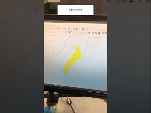
Part 8: Convert the catchment raster into a vector layer using r.to.vect (GRASS)
 0:05:03
Clip a Raster with a Polygon in QGIS (Extract by Mask)
 0:01:49
Remote Sensing in ArcMap Tutorial 6: Displaying Raster and Vector Data in ArcMap
Комментарии