filmov
tv
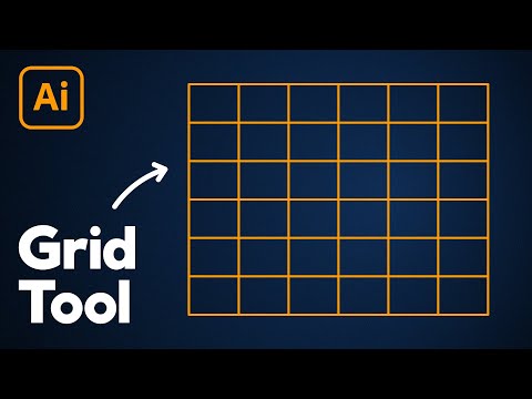
Work with a grid in ArcGIS Pro

Показать описание
A graticule displays coordinates in latitude and longitude while a measured grid displays coordinates from a projected coordinate system. In this tutorial, you will learn how to add a graticule to a map frame and then modify its components in ArcGIS Pro.
 0:02:00
 0:13:35
 0:18:35
 0:04:09
 0:06:14
 0:10:25
 0:13:59
 0:04:14
 0:00:16
 0:07:24
 0:18:48
 0:16:23
 0:10:35
 0:02:46
 0:14:05
![[css] Flex vs](https://i.ytimg.com/vi/hT9ABJyOzwM/hqdefault.jpg) 0:04:38
0:04:38
 0:06:33
 0:08:51
 0:04:37
 0:02:06
 0:32:42
 0:04:41
 0:03:01
 0:05:36