filmov
tv
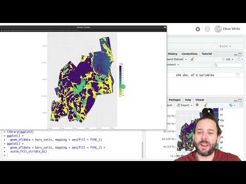
Spatial Data in R

Показать описание
An overview of
Rasters
Raster math
Plotting spatial images
Shapefile import
Integrate raster and vector data
0:00 Setup
5:00 Import Raster
8:17 Convert to dataframe
9:06 Map in ggplot
15:10 Vectors
27:00 Extract Raster Values
30:28 Map of Point Data
42:21 Make Your Own Vector Data
Rasters
Raster math
Plotting spatial images
Shapefile import
Integrate raster and vector data
0:00 Setup
5:00 Import Raster
8:17 Convert to dataframe
9:06 Map in ggplot
15:10 Vectors
27:00 Extract Raster Values
30:28 Map of Point Data
42:21 Make Your Own Vector Data
 2:01:43
Analyzing Geospatial Data in R (Sherrie Xie)
 0:19:12
Geospatial Data in R - Cropping Data
 0:20:34
Geospatial Data in R - Introduction to Projections
 0:15:02
Geospatial Data in R - Introduction to Vector Data
 0:06:39
Plot Spatial Data / Shapefiles in R | Gun Violence in Chicago
 0:07:17
Geospatial Data in R - Saving/Writing Spatial Data
 2:33:20
Introduction to spatial data analysis in R Tutorial
 0:56:10
Keynote: R Spatial
 0:08:59
Geospatial Data in R - Mapping Polygons Based on Their Properties
 0:23:11
Applied Spatial Data Analysis with R Visualising Spatial Data, Other Methods
 0:47:24
Spatial Data in R
 1:06:40
29 Working with Spatial Data in R
 1:08:36
Applied Spatial Data Analysis with R - Classes for Spatial Data in R
 0:37:15
Geostatistics for Compositional Data with R - 4.2 Spatial Data Analysis
 0:04:20
GIS and R - merging spatial data
 1:06:54
Lesson 5: Spatial Data Analysis in R
 0:16:31
Working with sf geospatial geometries in R
 0:04:12
rspatialdata: a collection of data sources and tutorials on downloading and visualising spatial data
 1:11:29
Mapping crime data in R: An introduction to GIS and spatial data
 0:38:44
Spatial Statistics for Data Science: Spatial data in R (spacestats01 2)
 0:05:21
Josiah Parry | Exploratory Spatial Data Analysis in the tidyverse | RStudio (2022)
 0:16:05
Applied Spatial Data Analysis with R 5 Further Methods for Handling Spatial Data 5.3 Spatial Joins
 0:09:58
Geospatial Data in R - Extracting Raster Data at Points
 0:05:58
Loading and Displaying Spatial Data in R
Комментарии