filmov
tv
Como colocar imagem aérea no AutoCAD

Показать описание
Neste tutorial ensino a inserir imagens de fundo (satélite e de ruas) no AutoCAD.
Precisa ter internet funcionando.
Comandos GEOMAP para AutoCAD Civil 3D.
Comando GEOGRAPHICLOCATION para AutoCAD normal.
Precisa ter internet funcionando.
Comandos GEOMAP para AutoCAD Civil 3D.
Comando GEOGRAPHICLOCATION para AutoCAD normal.
 0:10:17
Como colocar imagem aérea no AutoCAD
 0:05:57
Como Inserir Imagens do Google Earth no QGIS | Plugin QuickMapServices
 0:01:01
Fazer Google Earth mostrar sempre a imagem aérea reta
 0:14:23
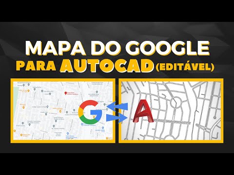
Como Transformar Mapa Do Google Em AutoCAD - Google Maps Para AutoCAD - Dominando o AutoCAD 2.0 #32
 0:20:14
𝗖𝗢𝗠𝗢 𝗜𝗠𝗣𝗢𝗥𝗧𝗔𝗥 𝗘 𝗚𝗘𝗢𝗥𝗥𝗘𝗙𝗘𝗥𝗘𝗡𝗖𝗜𝗔𝗥 𝗜𝗠𝗔𝗚𝗘𝗠 𝗗𝗢 𝗚𝗢𝗢𝗚𝗟𝗘 𝗘𝗔𝗥𝗧𝗛 𝗡𝗢 𝗔𝗨𝗧𝗢𝗖𝗔𝗗...
 0:03:31
Processamento Imagens Aérea com Imagens Google Earth
 0:08:48
Tutorial ArcGIS Básico - Aula 4 - Adicionando imagens (satélite, foto aérea etc.)
 0:00:58
Como usar a visualização 3D no Google Earth pelo celular
 0:00:12
IDEIA DE MILHÕES. #celular #criatividade #foto #photography #photo #praia
 0:17:13
Inserting your Architecture Project on a Drone Photo!
 0:06:12
Georreferenciamento de imagens no QGIS
 0:00:12
Prédio reformado em 3D e inserido em imagem aérea ✅🔥#projeto3d #3dmodeling #blender
 0:27:36
COMO FAZER PROJETO RURAL NO GOOGLE EARTH - MUITO FÁCIL -MINI CURSO PARTE 6
 0:00:07
Imagem aérea de Drone para chamadas em redes sociais
 0:00:13
METEORO ATINGINDO A LUA 🌙😱 #shorts
 0:00:55
APRENDA A CALIBRAR PAREAR E VOAR SEU DRONE E58 DO JEITO FÁCIL E RÁPIDO PARA INICIANTES.
 0:00:16
cinza é a cor do momento #pintura #tinta
 0:00:30
Alguns dos países aliados ao Brasil, em caso de guerra!
 0:03:05
📷 ✅ Como INSERTAR IMAGENES en AUTOCAD de MANERA CORRECTA 🖼
 0:00:08
FLEXÃO DE CADA POSTO E GRADUAÇÃO DO EXÉRCITO. #militar #military #pushups #flexões
 0:00:08
O Q FAZER CASO AVISTE UM BOMBARDINO CROCODILO? #curiosidades #jazzghost #tralalerotralala #shorts
 0:02:11
Como INSERIR e ESCALONAR imagens no AUTOCAD - 2021
 0:02:07
Como Passear Pelas Ruas no Google Maps Pelo Celular Como Utilizar o Google Street View no Smartphone
 0:11:02
Procesamiento de imágenes aéreas en Agisoft Metashape (Ortofotografía). Inscribete a nuestro curso...
Комментарии