filmov
tv
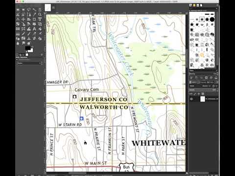
Editing GEOTiffs in Photoshop
Показать описание
In this video, I cover 4 methods to work with GEOTiffs in Photoshop, including one which doesn't break the .tfw link.
 0:16:58
Editing GEOTiffs in Photoshop
 0:09:50
Georeferencing maps by photoshop
 0:11:33
Using Google Earth Images in QGIS
 0:04:17
Shapefiles Merging by photoshop
 0:05:55
Convert QGIS Map to Adobe Illustrator and Adobe Photoshop
 0:14:07
Create MrSID Images with Geographic Imager from Avenza Systems
 0:00:59
How to Convert an Astrophotography Image from 32 Bits/Channel to 16 Bits/Channel in Photoshop
 0:08:52
GIMP map image editing
 0:16:43
Making Maps with Satellite Data, Geographic Imager & MAPublisher - Robert Simmon, Avenza UC 2021
 0:04:53
GIS Tutorial 05- Georeferencing using Adobe Photoshop CS6 part 2
 0:09:41
GIMP for QGIS (especially GeoTIFFs!)
 0:19:39
Maps in Blender 3.5: Custom Height Maps (DEM) + Color Maps (Photoshop, No Plugins, Blender 3.5)
 0:03:40
Convert multiband image to single band tiff using photoshop.
 0:09:56
Geotiffs For Construction Site Progression - A Follow Up To My last Google Earth Post
 0:01:45
Convert An Image To 8 Bit With PhotoShop - Tutorial
 0:01:01
What is TIFF and How to Open TIFF Files
 0:02:56
GeoTIFF and QGIS
 0:20:50
Raster Source Editor basics in ProRaster
 0:02:25
GIS: Steps to creating a GeoTIFF (3 Solutions!!)
 0:27:01
Full Screen Graphic Lecture Compressed
 0:02:05
Downloading and Converting DEMs
 0:49:35
Blender, QGIS & Digital Elevation Maps
 0:00:44
BSQ!PHOTOSHOP LAYER CUT TO FILE
 0:01:51
GIS: Convert PNG to GeoTiff using GDAL (2 Solutions!!)
Комментарии