filmov
tv
Generating a World Map Shapefile in QGIS

Показать описание
In this video, you will learn how to generate an ESRI Shapefile of the world using QGIS just in a few clicks.
Not many of you might know that when we install QGIS on our PC or Mac, a vector map of the entire world in GeoPackage (.gpkg) format gets installed into one of the program folders of QGIS. In this tutorial, I'm showing you how to access that file, and then use that world map vector file to then go and do your own custom edits such as exporting it into a separate Shapefile, and creating Shapefiles of only areas that are relevant to you etc.
By inspecting the attributes table, you will see that all the countries are correctly labelled as well, which means you could start displaying the names of the countries on your map instantly too!
 0:05:25
Generating a World Map Shapefile in QGIS
 0:05:44
QGIS Generate a world map shapefile in QGIS
 0:07:57
How to Generate world map Shapefile from QGIS Without any external source?
 0:04:47
How to create a World continent map in Arc GIS
 0:15:12
ChatGPT Made me a Map!
 0:14:44
Prepare Study Area Map Easily |QGIS
 0:22:46
Create Custom GeoJSON World Map for HighMaps Using QGIS
 0:17:14
Study Area Mapping | Create Map Layout in ArcGIS
 1:06:10
How GIS Can Be Used to Save the Places We Love
 0:13:05
Prepare map in QGIS || Introduction to QGIS print Layout
 0:07:43
Tableau - Introduction To Maps
 0:12:17
How to Create 3D Terrain with Google Maps and Blender!
 0:07:38
PowerPoint Animation Tutorial - Map Location
 0:15:09
plotting maps with geopandas and matplotlib
 0:10:30
R tutorial: Creating Maps and mapping data with ggplot2
 0:09:12
How to extract contour lines And DEM from Google Earth
 0:08:07
3 FREE Digimap Alternatives for Site Analysis and Site Plans
 0:03:14
Download World Soil Map Shapefile
 0:01:56
Create World Map With Data File
 0:03:27
How to download World Geological Map Shapefile
 0:02:44
Generate world map with a click in QGIS
 0:08:07
Creating 3D Maps and Animations using QGIS
 0:04:29
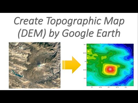
Create Topographic Map (DEM) by 'Google Earth'
 0:05:57
Getting Started With QGIS Project | How to Create a New QGIS Project
Комментарии