filmov
tv
The Best Mapping LiDAR (2024)

Показать описание
Introducing the ROCK R3 Pro V2 LiDAR – The New Standard in Mapping!
Dive into the heart of innovation with the ROCK R3 Pro V2, where precision meets efficiency in geospatial mapping. Our latest LiDAR masterpiece is not just an upgrade; it's a revolution designed to empower professionals across various industries. From surveying vast landscapes to intricate urban planning, the R3 Pro V2 is engineered to deliver unparalleled accuracy and detail.
In This Video:
00:00 Introduction to the ROCK R3 Pro V2: Discover what makes the V2 a game-changer in LiDAR technology.
00:25 Deep Dive into Upgrades: Unpacking the enhancements in IMU, GNSS, onboard computer, and LiDAR system for superior point cloud accuracy.
01:07 ROCK Photogrammetry Explained: A closer look at how our unique photogrammetry technique sets new standards in capturing precise data.
03:00 Introducing ROCK Inspect: Learn about the new tool across our platform for detailed visual inspections and how it integrates with your LiDAR data.
04:17 Enhanced Data Visualization: Witness the improved colorization and clarity in data presentation, making your projects not just accurate but visually striking.
06:36 Showcasing Accuracy and Precision: Explore examples of the enhanced accuracy in corners, the high dynamics of urban environments, and superior data quality from 150 feet in the air.
09:30 Real-world Applications: See the R3 Pro V2 in action, demonstrating its capabilities in various surveying scenarios.
Why the R3 Pro V2?
✅ Improved internal components for unmatched accuracy.
✅ Revolutionary ROCK Photogrammetry for detailed orthomosaic mapping.
✅ ROCK Inspect for enhanced visual inspections.
✅ Superior colorization and clarity in data visualization.
✅ Precision in capturing dynamics of every environment.
➡️ Upgrade Offer for R3 Pro V1 Owners: Already own a R3 Pro V1? We have an exciting upgrade offer for you! Reach out to us to elevate your LiDAR capabilities with the V2.
For more details on the ROCK R3 Pro V2 and to keep up with our latest innovations, subscribe to my channel, like this video, and visit our website.
Your journey into the future of geospatial technology starts here!
#R3ProV2 #Drone #LiDAR #ROCKRobotic #DJI #landsurveyor #GeospatialMapping #Innovation #Surveying #ROCKR3ProV2 #dronelidar #dronepilot
 0:15:05
The Best Mapping LiDAR (2024)
 0:02:41
Best LiDAR Drone in the World (2023)
 0:06:53
Elon Musk says losers use LiDAR. [Explanation video]
 0:01:26
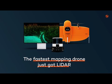
Meet Wingtra LIDAR, the ultimate LIDAR drone
 0:17:42
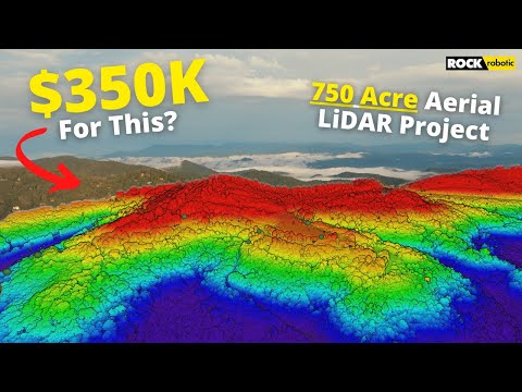
What Does A $350K LiDAR Project REALLY Look Like?
 0:01:43
NEW LiDAR Auto-Scan - Walkthrough Video
 0:06:35
Insta360 X3 vs Matterport Pro3 3D LiDAR Camera!
 0:01:01
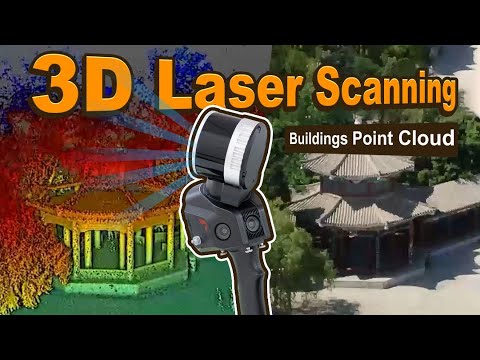
3D Laser Scanning Buildings Using SLAM100 LiDAR Scanner
 0:14:12
iPhone 15 Pro LiDAR and Camera vs Survey Total Station Accuracy
 0:15:30
Is LiDAR the next Gold? - Drone LiDAR
 0:01:15
Sideling Hill Lidar Map
 0:03:15
Photogrammetry vs LiDAR - Which Should You Use for Drone Mapping?
 0:38:56
The Ultimate LiDAR Comparison Review (2023)
 0:09:40
Comparing Top Five 3D Scanner Apps | Photogrammetry VS NeRFs VS LiDAR
 0:01:01
Best Drones for Photography (2024) #lidar #mapping #drones # LS300 #ORTHOPHOTO #ULTRAGENERATION2
 0:00:56
Introducing the Trimble X9 3D Laser Scanning System
 0:07:27
Lidar vs. Tesla: the race for fully self driving cars
 0:15:17
How Accurate is Drone LiDAR using DJI Zenmuse L2
 0:01:18
LiDAR Drone Mapping?
 0:09:23
FINALLY a robot mower that uses lidar like a robot vacuum. Dreame A1
 0:01:00
3D Scanning on the iPad Pro with LIDAR
 0:20:06
Fixed-Wing vs. Multirotor Drone LiDAR
 0:03:58
Create DEPTH MAPS from AI images for 3D LASER ENGRAVING
 0:16:11
Make This With Your Laser To Leave Your Day Job
Комментарии