filmov
tv
GIS Day 2021 - Elevate your Drone Imagery with Site Scan for ArcGIS (Esri Imagery Team)

Показать описание
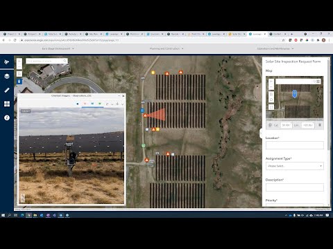
Site Scan for ArcGIS is a complete cloud-based drone mapping software that gives pilots and analysts an end to-end solution for flight planning, imagery data collection, processing, and analysis. Site Scan helps pilots maintain a complete picture of their drone inventory and flight history with automatic fleet management. Repeatable flight plans and a scalable cloud environment allow pilots to stay up-to-date with accurate imagery and process imagery quickly and securely.
 0:45:10
 1:48:05
 0:40:39
 0:50:31
 1:19:14
 0:00:13
 0:33:15
 1:13:05
 0:01:14
 0:28:30
 0:05:10
 1:00:07
 0:30:50
 2:37:10
 1:59:19
 1:00:05
 0:04:12
 0:00:15
 0:51:21
 0:00:25
 0:00:33
 0:59:04
 0:04:31
 0:00:15