filmov
tv
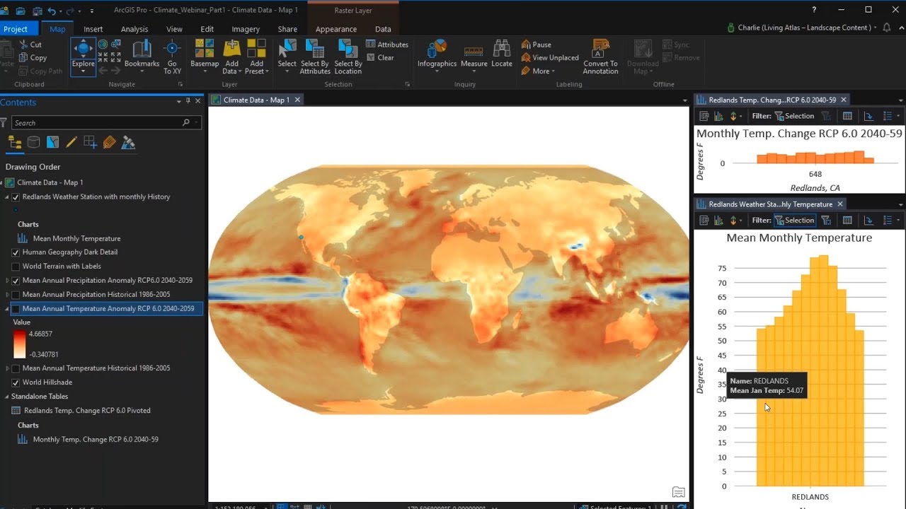
Use ArcGIS Pro to Evaluate Climate Change Data Webinar
Показать описание
Climate change is in the news more than ever and the projected changes are characterized as dire. How will climate change impact the area where you live? This webinar will dive into the latest scientific data on climate change giving you the basis to explore how scientists project your climate will change.
 0:52:31
Use ArcGIS Pro to Evaluate Climate Change Data Webinar
 0:02:27
Using the Measure Tool in ArcGIS Pro
 0:02:40
ArcGIS Pro - Calculating Values for an Attribute or Field
 0:03:19
Measure Tools in ArcGIS Pro. Distance, Area, & Measure Feature (ESRI)
 0:06:47
ArcGIS Pro - Quick Guide 07: Calculating Fields
 0:06:51
ArcGIS Pro: Assessing the Accuracy of a Classified Image
 0:15:15
Calculating Geometry in ArcGIS Pro
 0:02:36
Calculation Attribute Rules in ArcGIS Pro
 0:05:22
Quick Image Classification Accuracy Assessment in ArcGIS Pro
 0:02:13
Exploratory Analysis – Cut and Fill Tool Basics
 0:03:28
GIS Tutorial - Distance Distance Tool - ArcGIS Pro Editing
 0:09:01
Manipulating table attributes in ArcGIS Pro with Calculate Field
 0:00:16
Spatial Analysis in ArcGIS Pro #SpatialAnalysis #ArcGISPRO #DataAnalytics #Geospatial #DataScience
 0:08:48
Accuracy Assessment of classified image using ArcGIS Pro Tutorial P2
 0:00:53
Contingent Values in ArcGIS Pro Tutorial
 0:59:02
ArcGIS Data Reviewer: Automate, Simplify, and Improve How You Manage Data Quality
 0:00:59
Use attribute driven symbology in ArcGIS Pro
 0:05:45
How to calculate area of a polygon in ArcGIS Pro
 0:03:32
Planar vs Geodesic Measurements in ArcGIS Pro
 0:02:56
ArcGIS Pro Basics - Calculate Geometry
 0:01:00
Measure Features in a Full Motion Video in ArcGIS Pro
 0:05:21
Supervised Classification in ArcGIS Pro
 0:03:34
How To Use Raster Calculator in ArcGIS Pro
 0:01:48
ArcGIS Pro Microtip - Group Values when Classifying
Комментарии