filmov
tv
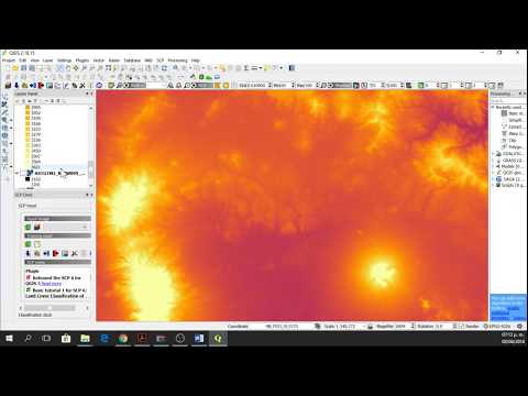
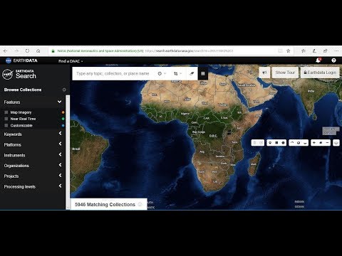
Downloading Elevation Data from NASA EarthData

Показать описание
In this tutorial, you will learn the step-by-step process of downloading elevation data from NASA EarthData portal, absolutely for free.
The specific type of digital elevation model (DEM) data that we will be downloading in this tutorial is Shuttle Radar Topography Mission (SRTM) DEM data, which has an approximate spatial resolution of 30m x 30m.
In this tutorial, we cover a number of components of downloading SRTM DEM data using NASA EarthData web portal such as signing up, specifying the area of interest on the map using a rectangle/ polygon, selecting the right instrument/ project, downloading the required number of DEM tiles in bulk or separately. Finally, we make use of a GIS software like QGIS to merge DEM tiles together to create a continuous, seamless DEM raster.
#nasa #elevationdata #geodeltalabs
 0:11:19
Downloading Elevation Data from NASA EarthData
 0:14:19
Downloading a Digital Elevation Model (NASA) from NASA EarthData –Tutorial
 0:06:30
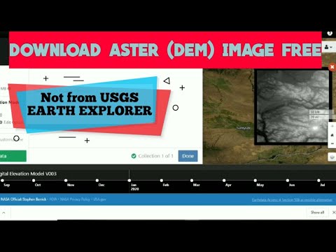
How to Download ASTER DEM 30m Data for FREE
 0:08:02
Downloading Digital Elevation Data (SRTM) from USGS EarthExplorer
 0:03:32
How to download Aster DEM [New website-https://search.earthdata.nasa.gov/search] ?
 0:01:10
Download ASTER DEM by NASA Earth data
 0:09:32
How to download Copernicus DSM/DEM and NASA DEM from OpenTopography
 0:04:45
HOW TO DOWNLOAD DEM FROM USGS EARTH EXPLORER WEBSITE
 1:22:58
The Many Layers of City Life Urban Datasets from NASA's SEDAC
 0:08:41
DOWNLOAD FREE DEM (FOR WORLD 2020) | ASTER IMAGE | EARTH DATA NASA |
 0:10:07
NASA SRTM Digital elevation data 30mt resolution from goole earth engine
 0:05:22
Downloading Digital Elevation Model (DEM) for free
 0:04:40
Download DEM files from NASA EarthData and Aster Dem website
 0:03:30
How to download Digital Elevation Model (DEM) data from Earthdata NASA.
 0:03:33
Download 1 meter DEM digital elevation model
 0:13:25
Extracting Elevation Data from Google Earth
 0:05:40
HOW TO DOWNLOAD DEM (ASTER AND SRTM ) FROM NASA EARTH DATA
 0:08:03
Download digital elevation model with spatial resolution 10m
 0:03:58
Download 30-Meter SRTM using NASA Earth Data | Importing in Arc Map
 0:11:05
Downloading SRTM DEM data using QGIS
 0:38:47
Learn How to Access and Acquire NASA Level-1 Data and Atmosphere Products from LAADS DAAC
 0:14:57
Download DEM/Elevation, Slope, Roughness, Aspect Map in just One Click
 0:05:27
how to download aster dem Raster image from NASA data earth for everyone
 0:16:51
Download weather data from NASA Power (precipitation, Temp, relative humidity) and Prepare Map
Комментарии