filmov
tv
Downloading Digital Elevation Data (SRTM) from USGS EarthExplorer
Показать описание
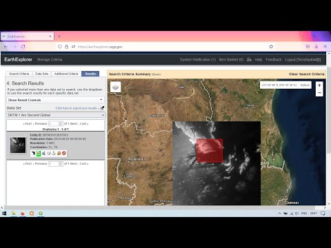
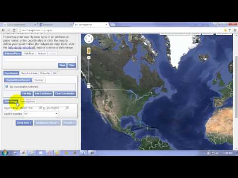
In this tutorial, you will learn how to download Digital Elevation Model (DEM) Data with a resolution of 30mx30m from USGS EarthExplorer web portal.
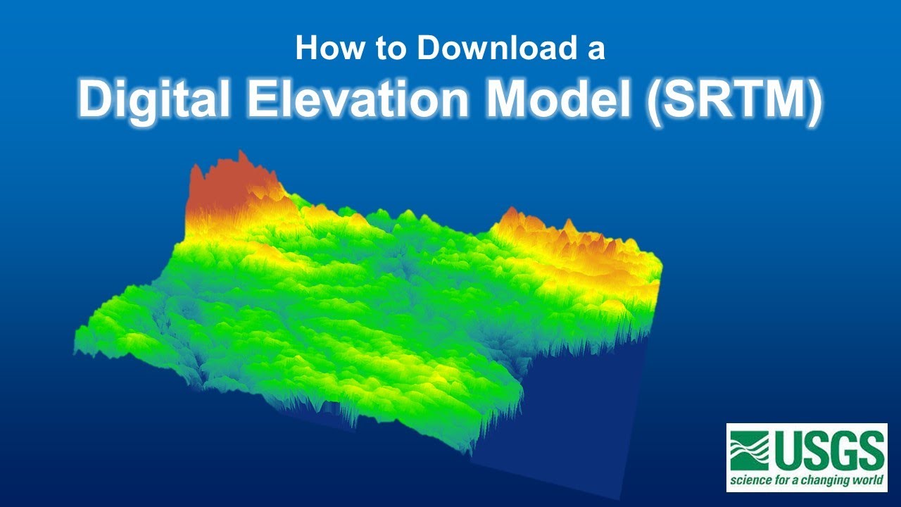
The type of digital elevation data demonstrated in this tutorial is SRTM, which stands for Shuttle Radar Topography Mission. You can download the following three types of SRTM DEM data from USGS EarthExplorer website;
1. SRTM Non-Void Filled
2. SRTM Void Filled
3. SRTM 1 Arc-Second Global (30m Global)
#usgs #digitalelevationmodel #spatialanalysis
 0:08:02
Downloading Digital Elevation Data (SRTM) from USGS EarthExplorer
 0:11:05
Downloading SRTM DEM data using QGIS
 0:04:45
HOW TO DOWNLOAD DEM FROM USGS EARTH EXPLORER WEBSITE
 0:02:02
SRTM DEM 30 Meter Download | Downloading Digital Elevation Data (SRTM)
 0:05:22
Downloading Digital Elevation Model (DEM) for free
 0:16:03
Download Digital Elevation Model | Download Digital Elevation Data (SRTM) from USGS Earth Explorer
 0:07:40
How to download SRTM DEM from Open topography
 0:06:24
How to Download Digital Elevation Models (DEM) in QGIS [OPENTOPOGRAPHY]
 0:21:24
Google Earth Engine for Water Resources Management- Surface water mapping using sentinel imagery
 0:05:29
How to Download 30m and 90m Resolution SRTM Digital Elevation Model Data from OpenTopography
 0:03:33
Download 1 meter DEM digital elevation model
 0:04:58
Download SRTM 30 m DEM Data from SRTM OpenTopography || Digital Elevation Model
 0:10:09
Downloading 30m SRTM DEM data from USGS EarthExplorer
 0:06:06
How to download DEM data || Downloading SRTM DEM || Digital Elevation Model download from USGS
 0:03:32
Download DEM data for any study area| Downloading Digital Elevation Data from USGS EarthExplorer
 0:02:32
How to download DEM data | SRTM 90m data
 0:06:29
How to download SRTM DEM image from USGS
 0:04:08
How to Download SRTM 30 m DEM for ArcGIS (updated 2021) || Very easy method
 0:14:57
Download DEM/Elevation, Slope, Roughness, Aspect Map in just One Click
 0:08:07
Downloading Digital Elevation Data (SRTM) from USGS Earth Explorer
 0:03:48
Download free SRTM DEM (30m resolution)
 0:11:05
How to download and process digital elevation model data (SRTM 30)
 0:05:27
Download SRTM 30m Digital Elevation Models for Free
 0:04:04
How To Download SRTM Dem (30m) Data Directly From QGIS || Digital Elevation Model Data Download QGIS
Комментарии