filmov
tv
Use the Extract Water Geoprocessing Tool in ArcGIS Pro

Показать описание
Learn how to extract water from an image using the Extract Water geoprocessing tool.
Engage with #Esri on Social Media!
Engage with #Esri on Social Media!
 0:00:58
Use the Extract Water Geoprocessing Tool in ArcGIS Pro
 0:07:26
Use geoprocessing tools
 0:12:49
Extracting Water Bodies Using Sentinel 1 GRD SAR Data in ArcGIS Pro: A Comprehensive Guide
 0:11:45
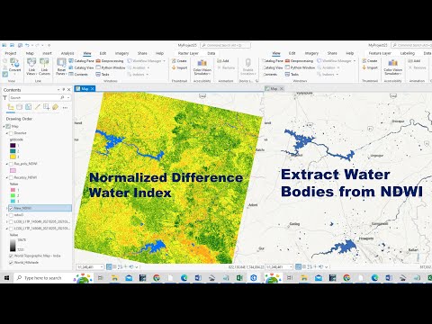
How to Prepare Normalized Difference Water Index (NDWI) and Extract Water Bodies from NDWI
 0:07:28
Automating Shoreline Extraction Workflow Using Normalized Index from UAS Imagery
 0:25:00
Vector geoprocessing tools in QGIS # Lesson 13 of 29
 0:13:33
Generating NDWI and Extracting Water Bodies with Landsat 8 in ArcGIS Pro
 0:01:29
how to clip a shapefile in arcGIS
 0:12:33
Overview of Geoprocessing
 0:05:00
How-to: Extracting Building Footprints using Esri's Deep Learning Model
 0:19:38
Clipping in QGIS - Vector Geoprocessing tools # Lesson 12 of 29 # QGIS Tutorial.
 0:02:57
How to Extract Smaller Areas From A larger Shapefile in QGIS
 0:27:58
Groundwater potential zone mapping Using GIS and remote sensing (Part-1)
 0:05:10
ArcGIS Pro: Hydrology Part 1 - Fill, Direction and accumulation
 0:05:03
Clip a Raster with a Polygon in QGIS (Extract by Mask)
 0:13:49
QGIS: Geoprocessing
 0:46:17
Using Geoprocessing for Configuring Advanced Tracing Analytics with the Utility Network
 0:11:08
Delineating Hydrological Catchments
 0:14:50
Watershed/ catchment extraction in ArcGIS Pro
 0:07:44
Deep Learning Object Detection Workflow in ArcGIS Pro
 0:10:00
How to Buffer, Clip, Dissolve, Intersect, Merge and Union in ArcGIS || Geoprocessing Tools
 0:12:21
How to use a DEM to delineate a Watershed/Basin in ArcGIS
 0:19:30
How to prepare Lineament and Lineament Density Map using ArcGIS
 0:34:28
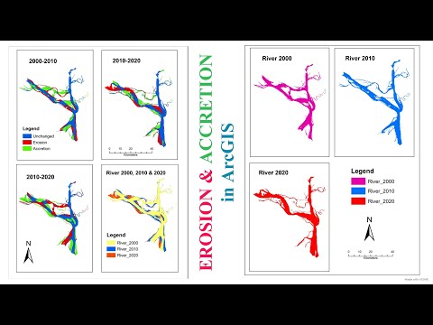
How to Calculate Erosion & Accretion of a River for different time period in ArcGIS
Комментарии