filmov
tv
How to perform Image Classification and Landcover Change in GIS?

Показать описание
By: Dr. Abe Mollalo
00:00 Purpose of lab and data characteristics
01:20 Unzip and explore Landsat 8 imagery data
03:42 Load the composite bands into ArcMap and explore them
07:13 Visual examine landcover change (swipe tool)
10:27 Clip the images with AOI
12:47 Introduction to image classification
15:11 Unsupervised classification in ArcMap
21:35 Measure areas of water/bodies and lands
25:51 Make landcover change maps
Download AOI:
Download Landsat 8 satellite imagery data (Path: 39, Row: 31):
Introduction to Remote Sensing in GIS: Calculating NDVI from Landsat 8 Satellite:
 1:25:05
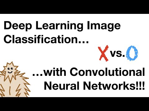
Build a Deep CNN Image Classifier with ANY Images
 0:32:28
Image classification with Python and Scikit learn | Computer vision tutorial
 0:15:24
Neural Networks Part 8: Image Classification with Convolutional Neural Networks (CNNs)
 0:31:53
Image Classification with Neural Networks in Python
 1:02:15
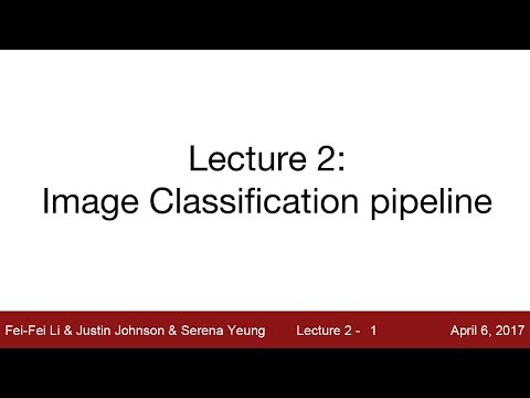
Lecture 2: Image Classification
 0:16:17
Deep-learning in Health care || Image Classification using(VGG16)?
 0:10:48
Supervised Image classification in Arc GIS
 0:42:36
Deep Learning - Image Classification Tutorial step by step (for Beginners) (python / TensorFlow)
 2:43:06
PyTorch Complete Training 2024: Learning PyTorch from Basics to Advanced
 0:28:12
Image classification using CNN (CIFAR10 dataset) | Deep Learning Tutorial 24 (Tensorflow & Pytho...
 0:02:32
Image classification vs Object detection vs Image Segmentation | Deep Learning Tutorial 28
 0:17:56
Image Classification using CNN Keras | Full implementation
 0:06:13
What is Image Classification?
 0:03:52
Supervised Image Classification
 0:23:54
Simple explanation of convolutional neural network | Deep Learning Tutorial 23 (Tensorflow & Pyt...
 0:44:02
Image Classification using CNN | Deep Learning Tutorial | Machine Learning Project 9 | Edureka
 0:21:29
Image Classification Using Pytorch and Convolutional Neural Network
 0:59:32
Lecture 2 | Image Classification
 0:09:57
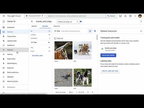
Practical AI 012a: Training an Image Classification Model with Vertex AI
 0:13:16
Google Earth Engine 8: Introduction to Image Classification
 0:34:56
Image Classification Using CNN | Deep Learning Projects | Machine Learning Tutorial | Simplilearn
 0:24:26
How To Train Deep Learning Models In Google Colab- Must For Everyone
 0:17:35
Image Classification Explained for Beginners
 0:21:43
OpenAI's CLIP for Zero Shot Image Classification
Комментарии