filmov
tv
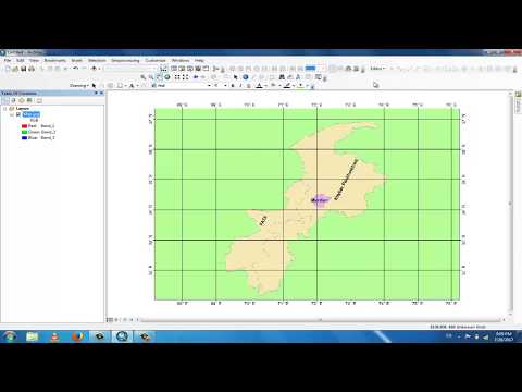
GIS Tutorial 04- Georeferencing using MS PowerPoint part-1

Показать описание
About GIS:
A geographic information system (GIS) is a conceptualized framework that provides the ability to capture and analyze spatial and geographic data. GIS applications (or GIS apps) are computer-based tools, that allow the user to create interactive queries (user-created searches), analyze spatial information output, edit data presented within maps, and visually share the results of these operations. ( Collected from Wikipedia)
Software download link:
Shapefile download link (drive link):
Shapefile download link:
Video credit:
Md. Shahadot Hossain
Connect to Facebook:
Other videos links of my channel:
Video 1:(1st Tutorial link)
Video 2: ( 2nd Tutorial link)
Video 3: (3rd Tutorial)
Video 4:
Music in intro:
Song: Make me move
Artist: Culture Code, KARRA
Another Music:
Music: Intro
Musician: Jef
Don't_forget_to_Subscribe
Please wait for next video...
Stay with me🙂
#Subscribe_now
 0:07:24
GIS Tutorial 04- Georeferencing using MS PowerPoint part-1
 0:11:05
Tutorial 4 - Georeferencing
 0:05:38
Basic GIS # 04 |How to perform Relative Georeferencing in ArcMap
 0:21:40
GIS Module 04: Projections and Georeferencing
 0:09:14
QGIS Tutorial 4/12: Raster georeferencing
 0:05:56
Georeferencing in GIS || GIS Tutorial
 0:17:17
Georeferencing of Maps without Latitude/Longitude values-ArcGis. no coordinate values, Google Earth
 0:04:58
Georeferencing Using GCP in ArcGIS10.4.1
 0:03:17
GIS 4 Georeferencing with Vector Data
 0:01:51
How to Make #Georeferenced Image in #AutoCAD - #Tutorial for #Beginners
 0:17:24
GIS(QGIS) Georeferencing and Digitizing (Part-1: Georeferencing)
 0:10:00
Georeferencing in ArcMap Tutorial
 0:06:05
Georeferencing in ArcGIS Pro in 5 Minutes: Control Points
 0:33:50
Tutorial 4-5: Georeferencing and tracing
 0:16:37
QGIS TUTORIAL - GEOREFERENCING
 0:06:32
GEOREFERENCING USING ARC GIS
 0:11:34
GIS Tutorial | Part 4 | Creating basemap or study area from georeferenced satellite image | ArcGIS
 0:10:01
How georeferencing a scanned map in ArcGIS 9.3
 0:42:55
Tutorial 4 ARCGIS- Georeferencing, Symbology
 0:12:09
Georeferencing Maps in Arcgis
 0:05:47
Georeferencing in ArcGIS Pro - georeference Images and scanned maps
 0:07:33
GIS Tutorial 06- Georeferencing part-3 (Final)
 0:10:32
Georeferencing in ArcMap Tutorial II ArcGIS
 0:19:06
Georeferencing in QGIS | Complete Course on Intro to QGIS | Part 4 | @GISITTools
Комментарии