filmov
tv
🗺️Create a DYNAMIC Map Chart in Excel – Data Validation, UNIQUE, SORT and FILTER☝️

Показать описание
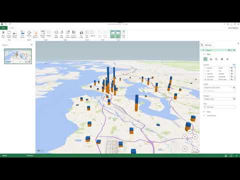
Map Charts in Excel are a visually stunning way of representing geographical data. Using a map chart, we can see how values vary from state to state or country to country based on a shaded gradient fill.
Filled Map Charts are available in Microsoft Excel 2016 and later.
In this video, we need to create a map chart based on a dataset AND make it completely dynamic so that when we select a region from a drop-down list, the map chart updates.
We can achieve this result using a combination of Excel functions: UNIQUE, SORT and FILTER combined with a Data Validation drop-down list.
🔗LINKS to related videos:
🤝Let's CONNECT on social:
#excel
 0:17:34
How to Create a DYNAMIC Map Chart With Drop-Down (works with ANY Excel version)
 0:08:07
How to Easily Create a Dynamic Filled Map Chart in Excel with Power Query
 0:06:45
🗺️Create a DYNAMIC Map Chart in Excel – Data Validation, UNIQUE, SORT and FILTER☝️
 0:12:53
🌍 How to make interactive Excel Map charts
 0:06:55
Create a Map Chart in Excel
 0:17:50
Create a dynamic map Chart/Dashboard in Excel Step by Step | Works on Any Excel version
 0:07:04
Making a dynamic map in MS Excel
 0:09:37
How to Create a Dynamic Map Chart in Excel - Excel Tips and tricks
 0:10:15
Power BI Sales Report Development | Building a Dynamic Summary View | Part 3
 0:35:28
Create a Dynamic Map Chart in Excel without Using Bing Map
 0:15:36
Dynamic Filled map in Excel | Connect with Wikipedia page to get population Data
 0:02:19
How to Create Dynamic Map Chart in Ms Excel | Create Dynamic map chart in Excel
 0:09:27
How to create a Dynamic Map Chart with drop down in Excel 🗺 Excel Map Chart India
 0:07:44
How to Create a DYNAMIC Map Chart With Drop-Down || ICONIC ACADEMY
 0:38:12
Financial Statistics Dashboards System | Dynamic Excel Map Chart | Tutorial 2
 0:15:23
Use 3D Maps in Excel - Create Beautiful Map Charts
 0:05:23
Create Dynamic World Map Chart in Excel #WorldMap #Worldographic
 0:07:26
How to Create Dynamic Map in Microsoft Excel
 0:00:17
Create a Dynamic Heat Map in Excel! #Shorts
 0:20:45
How to Create a Map Chart in Excel (Dynamic Maps in Excel)
 0:05:33
Master Dynamic Map Charts in Excel - Reveal Your Data's Story
 0:20:20
How to Create a Dynamic MAP Chart in Excel | How to Create a MAP Chart in Excel| Excel Map Chart |
 0:03:28
Dynamic Tree map chart - Practical example | Charts 24
 0:11:11
Corona Virus Map : How to create dynamic map chart in Excel
Комментарии