filmov
tv
GIS Fundamentals: Projections and Map Design - Cartography Introduction

Показать описание
In this video, we introduce the concepts behind cartography and quality map design. This course is the second in the "Geographic Information Systems Fundamentals" series, designed for beginners interested in learning more about GIS or students and professionals looking for a refresher. The course will continue with core concepts of GIS covered in the first course of the series. We’ll use Esri’s ArcGIS software to make a basic basemap of a neighborhood in Brooklyn, complete with multiple layers from several data sources, shown at a specific, accurate scale. We’ll also cover a number of concepts essential to GIS, including projections, coordinate systems, cartography, and the difference between raster and vector data models.
 0:07:18
GIS Fundamentals: Projections and Map Design - Cartography Introduction
 0:15:35
Introduction to Projections - GIS Fundamentals and Mapping (18)
 0:44:35
GIS Fundamentals 3: Geodesy, Datums, Map Projections, and Coordinate Systems
 0:12:16
Map Projections: The Preservation of Information - GIS Fundamentals and Mapping (19)
 1:02:41
Introducing Coordinate Systems and Map Projections
 0:05:11
What is GIS?
 0:09:43
GIS Coordinate Reference Systems
 0:09:58
Cartography, Projections and Scales
 0:07:37
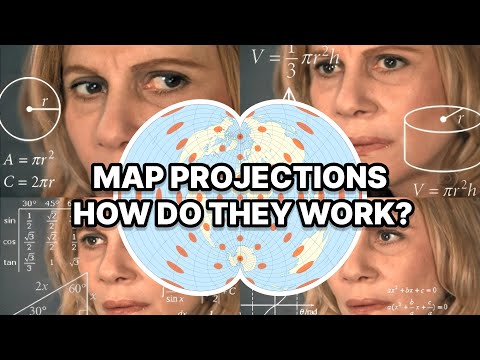
Map Projections Explained - A Beginners Guide
 0:18:36
Map projections in GIS (theory)
 0:48:27
GIS Fundamentals 4: Maps, Data Entry, Editing, and Output
 0:18:31
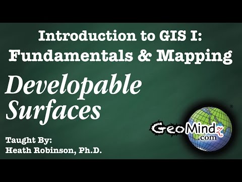
Map Projections: Developable Surfaces - GIS Fundamentals and Mapping (20)
 0:04:57
GIS Fundamentals and Mapping (1): Introduction
 0:07:24
Latitude and Longitude as Grid Coordinates - GIS Fundamentals and Mapping (8)
 0:06:40
Scale and Projection - GIS Fundamentals and Mapping (21)
 0:08:46
An Introduction to Projections - Fundamentals of GIS
 0:52:56
GIS Basics
 0:11:28
Determining Latitude - GIS Fundamentals and Mapping (9)
 0:04:54
What is Longitude? - GIS Fundamentals and Mapping (11)
 0:08:40
Calculating Longitude - GIS Fundamentals and Mapping (13)
 0:03:26
Wrap Up - GIS Fundamentals and Mapping (28)
 0:11:05
Determining Position on the Planet - GIS Fundamentals and Mapping (5)
 0:12:05
GIS Fundamentals
 1:12:46
Learn GIS - QGIS Full Course for Beginners (New for 2024)
Комментарии