filmov
tv
Measuring Distance

Показать описание
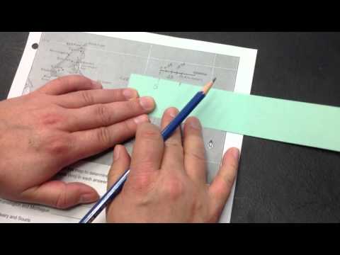
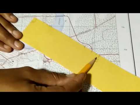
Today's video is on how to measure distance on an Ordnance Survey map. I'm using the East West map of Achill, it's drawn to a scale of 1:25000 which I found showed up more clearly on the video.
We had a video on Grid References a little while back, reading grid references and measuring distance are part of the Leaving Certificate Geography syllabus but are also really useful if not essential skills for anyone heading out and about in the hills.
We had a video on Grid References a little while back, reading grid references and measuring distance are part of the Leaving Certificate Geography syllabus but are also really useful if not essential skills for anyone heading out and about in the hills.
 0:10:58
 0:04:27
 0:07:44
 0:13:56
 0:03:47
 0:05:42
 0:01:58
 0:03:05
 0:00:49
 0:00:31
 0:03:13
 0:02:16
 0:04:59
 0:11:21
 0:02:16
 0:01:07
 0:03:56
 0:05:35
 0:05:49
 0:04:08
 0:02:32
 0:00:31
 0:02:02
 0:00:55