filmov
tv
Atmospheric Correction of Sentinel-2 Images Using Sen2Cor | Convert L1C (ToA) to L2A (BoA)

Показать описание
OSRSGIS
Atmospheric effects in optical remote sensing can significantly alter reflectance values and lead to erroneous results. Thus, atmospheric correction is arguably the most important step in the preprocessing of satellite imagery. This tutorial shows how to implement Sen2Cor processor to derive Sentinel-2 surface reflectance products (Level 2A) from top-of-atmosphere reflectance products (Level 1C).
Atmospheric effects in optical remote sensing can significantly alter reflectance values and lead to erroneous results. Thus, atmospheric correction is arguably the most important step in the preprocessing of satellite imagery. This tutorial shows how to implement Sen2Cor processor to derive Sentinel-2 surface reflectance products (Level 2A) from top-of-atmosphere reflectance products (Level 1C).
 0:02:46
QGIS:: ATMOSPHERIC CORRECTION OF SENTINEL 2
 0:15:23
Atmospheric correction of Sentinel-2 images in QGIS software
 0:08:26
Atmospheric Correction of Sentinel-2 Images Using Sen2Cor | Convert L1C (ToA) to L2A (BoA)
 0:01:38
Atmospheric correction of Sentinel-2 imagery using Sen2Cor in Python environment
 0:04:47
Atmospheric Correction of Multiple Sentinel-2 L1C Images with Sen2Cor at a go from terminal/cmd
 0:06:01
Easily perform Sen2Cor atmospheric correction for Sentinel-2 images
 0:06:04
How to get Radiometric and Atmospheric Corrected Sentinel-2 Imagery and Manage it in ArcGIS Pro
 0:05:48
Atmospheric Rayleigh Scattering Correction of Sentinel 2 Imagery using ESA SNAP
 0:02:16
Atmospheric Correction (TOA to BOA) of Landsat and Sentinel-2 Imagery in Google Earth Engine
 0:10:04
How to use Acolite to process Sentinel-2 Imagery
 0:05:55
How to perform Atmospheric correction using QGIS tool.
 0:01:35
GIS: Sentinel 2 Atmospheric Correction Inconsistencies
 0:01:53
Atmospheric correction of larger collection of Sentinel 2 L1C images (in Google Earth Engine)...
 0:03:26
Sentinel-2 Correction Using Sen2cor Plugin MacOS (Monterey 12.4)
 0:09:30
Sentinel 2 Radiometric Calibration
 0:18:27
FOSS4G 2022 | Sea water turbidity analysis from Sentinel-2 images: atmospheric correction and bands…...
 0:01:29
How to use Sen2Cor. Sentinel-2 Image Correction
 0:12:46
Radiometric and atmospheric correction of satellite images in ArcGIS
 0:02:40
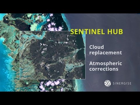
Sentinel Hub - cloud replacement, atmospheric corrections and custom visualizations
 0:11:41
Amtmospheric Correction Sentinel QGIS SCP Application
 0:02:37
GIS: Atmospheric correction for Sentinel 2 level 1-c in the Google Earth Engine Java API
 0:10:05
Atmospheric Correction of Hyperspectral Imagery using FLAASH in ENVI
 0:11:29
Uydu Görüntülerinin Ön İşlem Adımları | Sentinel 2 | Atmosferik Düzeltme
 0:17:20
ENVI Tutorial 6: Atmospheric correction of satellite Image using FLAASH
Комментарии