filmov
tv
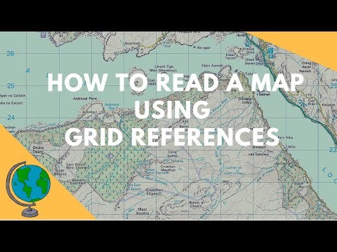
Intro to Maps, Compass, Grid References.

Показать описание
An introduction in Ireland to map reading,
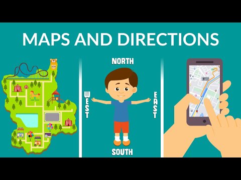
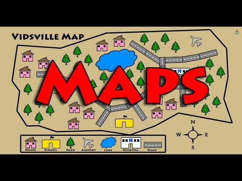
Maps,
Features,
Compass Features,
Using a compass for grid references.
I used an OSI sheet 56 1:50000 available on OSI.ie
I used in shot video editor and it worked a treat! Thanks for watching. I hope it helps.
Answers to the questions in the video are as follows:
O 0338 0690 - spotheight 703
S 9788 9779 - spot height 636
N 9790 0342 - lockstown bridge
O 1439 1330 - Source of River Liffey
THANKS FOR WATCHING 🙂
 0:36:43
 0:06:29
 0:03:52
 0:09:11
 0:03:35
 0:00:45
 0:08:50
 0:01:34
 0:08:38
 0:01:01
 0:01:04
 0:04:56
 0:03:36
 0:00:59
 0:08:01
 0:07:11
 0:02:14
 0:00:59
 0:03:48
 0:03:31
 0:01:53
 0:01:57
 0:03:27
 0:06:59