filmov
tv
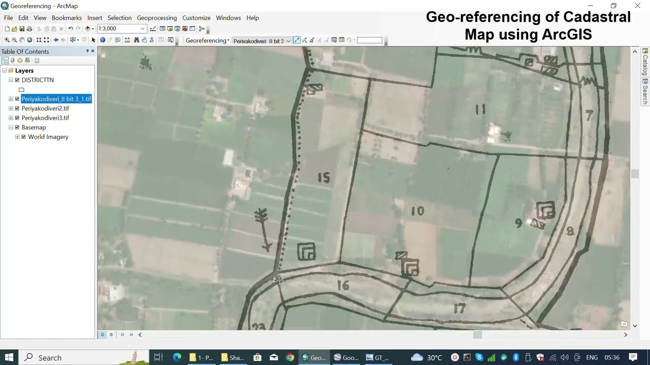
Georeferencing Cadastral Maps 101: Finding Ground Control Points part 1
Показать описание
Have you ever wanted to extract maximum value from your Cadastral Maps? Accurate georeferencing is key! Join me, in this exciting GIS tutorial, as I show you how to use a basemap from ArcGIS to find ground control points to accurately georeference your Cadastral maps. Don't forget to like, comment, and subscribe to my channel for more exciting GIS tutorials.
To merge multiple cadastral map to single map follow the link below
To merge multiple cadastral map to single map follow the link below
 0:12:44
 0:16:57
 0:08:20
 0:19:58
 0:08:15
 0:05:45
 1:14:16
 0:06:47
 0:01:56
 1:49:06
 0:09:22
 0:00:44
 0:20:19
 0:12:14
 0:31:49
 0:01:04
 0:03:40
 0:05:36
 0:04:47
 0:08:32
 0:16:43
 0:10:51
 0:03:29
 1:57:08