filmov
tv
Tracing fluid pathways with hyperspectral remote sensing | Frank’s tutorials

Показать описание
This video presents a case study on the use of hyperspectral remote sensing imagery to study hydrothermal alteration systems in a 3.2 Ga Archean volcano-sedimentary sequence.
It show very nicely how subtle differences in the chemical composition of white mica minerals play a key role in the mapping and recognition of a hydrothermal system developed in the Archean times. It also demonstrates the potential for hyperspectral imagery to identify zones where deposition of metals occurred during the time of hydrothermal fluid circulation.
It show very nicely how subtle differences in the chemical composition of white mica minerals play a key role in the mapping and recognition of a hydrothermal system developed in the Archean times. It also demonstrates the potential for hyperspectral imagery to identify zones where deposition of metals occurred during the time of hydrothermal fluid circulation.
 0:29:34
Tracing fluid pathways with hyperspectral remote sensing | Frank’s tutorials
 0:17:18
Applying Hyperspectral Core Imaging to See VMS Alteration Zonation in a New Light
 0:04:01
Poster 70. Generalized Unsupervised Clustering of Hyperspectral Images of Geological Targets in ...
 0:17:36
Mapping alteration systems in the eastern Gawler Craton
 0:32:51
Infrared Hyperspectral Mineral Mapping of Sedimentary Drill-Core | Frank’s Tutorials | Presentation...
 0:59:56
Fractures and hydrothermal alterations: a review of fluid pathways for geothermal applications.
 1:36:55
Hyperspectral remote sensing applications in Earth Observation
 0:46:56
Hyperspectral classification | Frank’s Tutorials | Lecture
 0:02:46
Infill vs Alteration
 0:05:21
The hyperspectral game! | Christmas edition 2021 | Frank's Tutorials
 0:02:27
Remote sensing techniques for finding mineral resources | Earth Resources | meriSTEM
 0:06:06
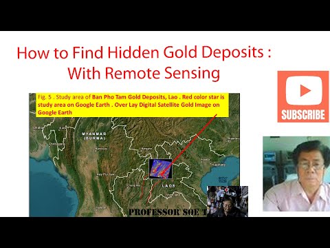
How to Find Hidden Gold Deposits with Remote Sensing
 0:04:18
Measuring the Geochemistry of Hydrothermal Vents - InVADER Mission
 0:46:52
Shaun Barker - MDRU - Identifying cryptic alteration around carbonate-hosted ore deposits
 0:13:55
Mineral Extraction using Aster images in the ENVI (Pre-processing Aster images)
 1:01:31
Cathodoluminescence Explained. Episode 3: Analysis Modes for Geoscience Applications
 0:58:37
Lumotive Webinar - One Size Does Not Fit All
 0:28:31
Information theory and hydrothermal processes | Frank's Tutorials | Lecture
 0:09:59
How to Download Latest Earthquake Data ||Earthquake Map|| How to use SQL Queries Builder|| ArcGIS
 0:05:37
Terra's Innovative Satellite Data Analytics
 0:28:07
Joseph Tang - Geochemistry in Mineral Exploration
 0:12:02
Hydrothermal alteration - a brief explanation | Frank’s tutorials
 1:22:06
Every Basin. One Solution - NIR Spectroscopy
 0:16:34
EN3103 GIS and Remote Sensing Part VII Applications of Remote Sensing
Комментарии