filmov
tv
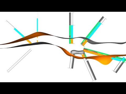
Maximising the extraction of geological information from geophysical datasets using machine learning

Показать описание
Machine learning and 3D modeling techniques were applied to a high-resolution magneticradiometric dataset collected over the Fletchers Awl copper-gold project in Central Queensland to map the 2D and 3D geology of the project area. Two supervised machine learning methods (Random Forests, Support Vector Machines) were used, both requiring training data to classify the input data into lithologies. After tuning the input data, training points, and model parameters, these methods produced maps that closely resembled the government geology map. An unsupervised method (ISO Cluster Classification) was also tested, which segments the input maps into classes without the use of training data. This produced a reasonable approximation of the mapped geology, but distinct units were grouped together. We found that the best use for the machine learning outputs was as guides for the more traditional geological interpretation of the geophysics data that was undertaken. The interpretation was extended into 3D using wireframing and implicit modeling. A magnetic inversion, drilling data, and gravity maps were also incorporated to guide the 3D mapping. The resulting 2D and 3D maps are great improvements on the existing mapping and have improved the understanding of the mineral system model for the area, allowing more effective exploration targeting.
 0:11:29
Maximising the extraction of geological information from geophysical datasets using machine learning
 0:06:05
Maximizing Connectivity for Geological Discovery & Interpretation - Part Two: Interpret & In...
 0:05:32
Unearthing the Future A Deep Dive into Mining & Geological Engineering (6 Minutes)
 0:10:27
How Gold is Mined and Refined
 0:06:05
Maximizing Connectivity for Geological Discovery & Interpretation - Part Two: Interpret & I...
 0:55:43
Cam McCuaig - BHP - Geoscience Vision for Future Resource Exploration and Extraction.
 0:30:27
Elon Musk: 'Africa is Splitting into Two Continents and Most People Are Not Aware'
 0:23:13
Practical Minerals Systems Application to Enhance Exploration Success – FULL SESSION
 1:10:06
The Challenges of Deep Mass Mining
 0:11:27
Economic geology segment 3
![[DSC 4.0] Extracting](https://i.ytimg.com/vi/0DzcUXkn9HY/hqdefault.jpg) 0:31:01
0:31:01
[DSC 4.0] Extracting keywords from texts - Sanda Martincic Ipsic
 1:29:17
Exploration and Technology Webinar: Geologic Modeling Fundamentals
 0:08:40
Introduction: Picking Horizons - The Evolution of Analytical and ML Methods
 0:12:08
How to Find Gold: Understanding Gold Deposits and Geological Indicators
 0:16:25
Exploration -- Gold Exploration & Mining (3/6)
 0:04:40
Understanding exploration and mining in South Australia: What is mineral exploration?
 0:29:56
00 Earth resources challenge
 0:09:48
Pandas Dataframes - Data Aggregation Using Geological Lithology Data
 1:16:20
Geological Knowledge Discovery using Machine Augmented Intelligence
 1:48:46
ODH047: REE – Mineralogy, markets, and other considerations for economic development – Darren Smith...
 0:31:17
MEGWA JUNE 2022: Bill Amann: Nova: Geophysics for Geologists, from Exploration to Mining
 1:57:26
Luxembourg Space Resources Week 2023 - Extracting and using space resources part 1
 1:18:32
Early Career Webinar: Drilling Techniques to Maximize Exploration Success
 0:05:35
Mapping Gear For Geology Fieldwork, GEOS307
Комментарии