filmov
tv
How to Create Historical Maps in After Effects🌎GEOlayers Tutorial

Показать описание
Here's how to create historical maps using GEOlayers in Adobe After Effects.
0:00 Intro
0:47 Patreon!
0:59 Historical Basemaps Repository
1:57 Connecting the Repository
2:59 Search for the Maps
4:04 Drawing the USSR
4:43 Drawing the Holy Roman Empire
5:57 Designing the Map
6:31 Outro
#maps
#adobeaftereffects
#historicalmaps
0:00 Intro
0:47 Patreon!
0:59 Historical Basemaps Repository
1:57 Connecting the Repository
2:59 Search for the Maps
4:04 Drawing the USSR
4:43 Drawing the Holy Roman Empire
5:57 Designing the Map
6:31 Outro
#maps
#adobeaftereffects
#historicalmaps
 0:07:07
How to Create Historical Maps in After Effects🌎GEOlayers Tutorial
 0:02:51
How History Animators Make Their Maps
 0:05:01
How I make Maps out of Marble — OSP Behind The Scenes
 0:06:22
Make EPIC Animated Historical Maps in Minutes!
 0:02:45
History Maps and Historical Borders
 0:04:59
The biggest mistakes in mapmaking history - Kayla Wolf
 0:04:28
Creating historical maps (intro)
 0:12:11
How We Mapped the World Before Satellites
 0:20:26
Vivid Hues Special: Stories of Black History with Keitha Nelson
 0:29:29
How I Make My Maps
 0:01:25
Creating Historical Maps with AI
 0:04:54
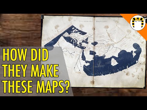
How Leonardo da Vinci made a 'satellite' map in 1502
 0:07:10
Creating historical maps with MapTiler
 0:00:13
WORLDS FIRST MAP #history #historical #map #maps #geography #mapping #ancienthistory
 0:15:39
The origins of Russia - Summary on a Map
 0:02:51
timeMap, how to create an historical map for your website
 0:03:35
Make a historical map for kids! - The Little Historians Magazine
 0:01:10
Learn Google Earth: Historical Imagery
 0:07:04
A Brief History of Cartography and Maps
 0:04:16
Making Historical Google Maps
 0:52:07
Layers of London Webinar: Creating historical maps with cartographer Giles Darkes
 0:07:52
Where to Get Historical Geodata / Boundaries and Borders🗺️
 0:37:45
Creating Details from a whole map of historical places in QGIS (real time, full)
 0:17:22
Make Amazing Maps with Microsoft Paint
Комментарии