filmov
tv
Stream Order From DEM Using SAGA GIS

Показать описание
System for Automated Geoscientific Analyses (SAGA GIS) is a geographic information system (GIS) computer program, used to edit spatial data. It is free and open-source software, developed originally by a small team at the Department of Physical Geography, University of Göttingen, Germany.
-----------------
▶ in this video we've attempted to show you how to extract existing Rivers in a DEM in SAGA GIS.
Hope you find it useful.
____________________________________________
🔴 Check it out:
- Like & Share the video with others:
_ _ _ _ _ _ _ _ _ _ _ _ _ _ _ _ _ _ _ _ _ _
- Subscribe to our channel :
=========================================================
#gis #gistutorial #remotesensing #rsandgis #arcgis #SAGAGIS
 0:14:00
Stream Order from a Digital Elevation Model (DEM) using ArcGIS
 0:13:31
Generate stream order in QGIS using DEM || Create a stream order map
 0:09:04
Stream Order From DEM Using SAGA GIS
 0:33:45
Watershed stream order map preparation from DEM data using ArcGIS Software
 0:19:32
Extracting Stream or Drainage Network from DEM in ArcGIS
 0:15:17
Stream Ordering (Strahler) from DEM Data in ArcGIS || Hydrological Analysis
 0:13:32
Stream ordering ( STRAHLER & SHREVE) based on DEM data
 0:25:54
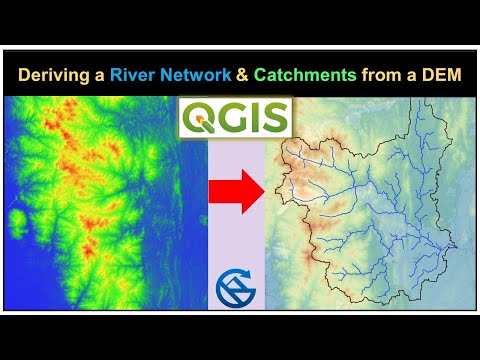
Deriving River Network & Catchments from a DEM using QGIS
 0:01:00
Fünf Monate alter Hund hat Angst vor Wasser - Vorher-Nachher-Wassergewöhnung Hundeschule Wipperfürth...
 0:14:25
Deriving River Network and Catchments and Watershed Delineation from a DEM using QGIS
 0:10:01
Drainage Extraction in Arc GIS using Digital Elevation Model (DEM)/ Automatic Drainage Extraction
 0:01:48
How to create streams and rivers from a DEM
 0:04:36
stream / river extraction from DEM using ArcGIS
 0:05:11
Basin Delineation part-1 (DEM Processing for Stream Order)
 0:12:19
Watershed Delineation Using DEM Data (Full) - ArcGIS
 0:24:00
Stream Order from Digital Elevation Model DEM using ArcGIS | Stream Order in ArcGIS | Stream Order
 0:04:22
Stream Network Extraction from High Resolution Dem in ArcGIS
 0:20:27
Stream Ordering of Watershed from DEM
 0:26:15
ArcGIS complete course Watershed Delineation and Drainage line from DEM
 0:08:56
Watershed delineation from DEM using ArcGIS | Drainage analysis ArcGIS | v12
 0:25:36
How to Delineate Watershed using DEM data in ArcGIS Pro
 0:19:14
Deriving River Network and Catchments and Watershed from a DEM using QGIS
 0:23:59
GIS : Creating the Stream from DEM
 0:04:27
Drainage density map extract from DEM using arcgis 10.5
Комментарии