filmov
tv
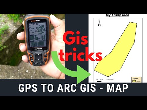
Arc Gis: Insert Gps points in Arc Map and create shapefile!

Показать описание
Create shapefile in Arc Map (Arc Gis)from handheld gps points summarised in Microsoft Access database file.
View also the following videos:
Create a slopes terrain map in Arc Map
Create shapefile without using ArcCatalog
ArcGIS: Plot in ArcMap
Scale a georeferenced image in one Axis only(e.g. in case of a bad scanning)
Autocad: Invisible printing (do not plot specific items in your drawing, when printing)
Autocad: How to create .plt file after installing a plotter's configuration
ArcGIS: Manage .dwg files to ArcMap and convert to shapefiles(.shp)
Autocad: Convert a shapefile(.shp) to a .dwg and the opposite, georeferenced!
View any forgotten passwords saved in your computer
Magic Number Trick to impress your friends!
Measure width and height of a photograph in pixels and resize it
Autocad:Display points from your country's coordinates to Google Earth
Autocad: Measure and divide a polyline to equal segments
Fun video: Worker in construction project"fights" with a plastic cone.
Arc Gis: Insert Gps points in Arc Map and create shapefile!
Autocad:Implementing scales in drawings (e g 1:200)
 0:02:03
 0:02:57
 0:03:09
 0:03:04
 0:02:38
 0:04:30
 0:04:31
 0:11:59
 0:06:19
 0:00:59
 0:11:50
 0:04:07
 0:05:32
 0:03:25
 0:07:52
 0:05:48
 0:04:53
 0:01:59
 0:01:37
 0:01:43
 0:02:46
 0:00:42
 0:05:41
 0:03:42