filmov
tv
Sailing Through Greece: E27 Gulf of Corinth

Показать описание
Next episode:Sailing Eastern Mediterranean E28 Syracuse Sicily
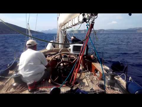
This episode: E27 The Gulf of Corinth is a deep inlet of the Ionian Sea separating the Peloponnese from mainland Greece. It is bounded in the east by the Isthmus of Corinth which includes the Corinth Canal and in the west by the Strait of Rion which widens into the shorter Gulf of Patras (Ionian Sea) The gulf is in tectonic movement comparable to movement in parts of Iceland and Turkey, it is 130 km long, 8.4 to 32 km wide and 935 m at its deepest. Since 2004 the gulf is crossed at its narrowest point by the Rio-Antirrio Bridge. We were lucky enough to see striped dolphins and anchored safely in Ormos Dhomvrainas/ Dombraina, Galaxidhi and Ormos Nikolaos
Galaxidhi (7 km sw of Itea & 15 km sw of Delphi) is a small port situated on a natural double harbour surrounded by mountains. The deeper main harbour provides docking facilities for yachts and small fishing boats and is lined with restaurants, bars, and stores. The smaller harbour is Chirolaka. The rocky shoreline by the side of the larger harbour, is a pine forest planted by school children in the early twentieth century. A road behind the town leads up the mountain to the Monastery of the Metamorphosis (actually a convent that was inhabited by one nun as of 2010). This provides a splendid view of the town and its surroundings. Modern Galaxidhi is built on the site of ancient Haleion, it had a sizeable merchant marine fleet and was a prosperous commercial centre.This is reflected well preserved style of the local traditional architecture which has facilitated the growth of tourism in recent decades. The marine museum contains exhibits from this period. The Rio–Antirrio Bridge, officially the Charilaos Trikoupis Bridge, is one of the world's longest multi-span cable-stayed bridges and the longest of the fully suspended type. It crosses the Gulf of Corinth near Patras, linking the town of Rio on the Peloponnese peninsula to Antirrio on mainland Greece by road.The 2,880 m long bridge is 28 m wide with two vehicle lanes per direction, an emergency lane and a pedestrian walkway. This bridge is an engineering masterpiece, owing to several difficulties of the site, including 65m deep water, a seabed mostly of loose sediment, significant seismic activity, the probability of tsunamis, and the expansion of the Gulf of Corinth at a rate of 30mm per year due to plate tectonics. For these reasons, special construction techniques were applied. The piers are not buried into the seabed, but rather rest on a bed of gravel which was meticulously levelled to an even surface (a difficult endeavour at this depth). During an earthquake, the piers should be allowed to move laterally on the seabed with the gravel bed absorbing the energy. The bridge parts are connected to the pylons using jacks and dampers to absorb movement; too rigid a connection would cause the bridge structure to fail in the event of an earthquake. There is provision for the gradual expansion of the strait over the bridge's lifetime. The bridge received the 2006 Outstanding Structure Award from the International Association for Bridge and Structural Engineering. When yachts are wanting to cross under the bridge, they should call bridge control on ch16 when a mile out, to receive safe positioning instructions.
 0:07:13
 0:14:10
 0:11:45
 0:02:48
 0:04:40
 0:26:10
 0:03:55
 0:00:38
 0:02:02
 0:00:51
 0:01:04
 0:12:29
 0:15:24
 0:01:26
 0:25:33
 0:01:31
 0:00:06
 0:23:23
 0:00:39
 0:02:07
 0:04:01
 0:13:42
 0:01:04
 0:17:03