filmov
tv
Mapping Exposure to Sea Level Rise
Показать описание
The Pacific region includes some of the world’s lowest-lying countries. However, most climate adaptation activities in the Pacific are not informed by the fundamental data required to identify the magnitude of, and communities at risk from, coastal flooding.
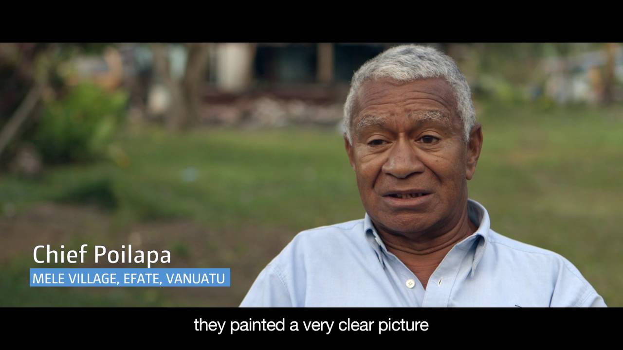
Innovative ICT solutions are helping Pacific Island countries prepare for and adapt to sea level rise brought about by climate change. The Mapping Exposure to Sea Level Rise project provides the fundamental data, skills and tools at-risk communities need to make planning decisions. It trains government decision makers to use online tools and flood maps to understand and mitigate the risks of sea level rise. Using these maps, governments can better understand and communicate climate change risk to local communities and put adaptation plans in place.
Innovative ICT solutions are helping Pacific Island countries prepare for and adapt to sea level rise brought about by climate change. The Mapping Exposure to Sea Level Rise project provides the fundamental data, skills and tools at-risk communities need to make planning decisions. It trains government decision makers to use online tools and flood maps to understand and mitigate the risks of sea level rise. Using these maps, governments can better understand and communicate climate change risk to local communities and put adaptation plans in place.
 0:02:18
 0:01:09
 0:04:35
 0:06:48
 1:33:11
 0:35:33
 0:15:53
 0:12:04
 1:04:45
 0:42:17
 0:09:41
 0:01:27
 1:26:04
 0:59:39
 0:07:03
 0:05:00
 0:11:48
 0:05:59
 0:05:02
 2:34:13
 1:04:09
 0:44:11
 0:14:09
 0:38:28