filmov
tv
Building a virtual diorama of Arizona in Unreal Engine: Part 1

Показать описание
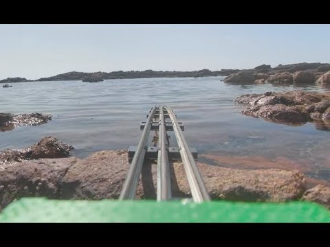
This is part 1 of a video series where I create a virtual diorama of the beautiful state of Arizona with moving water, and eventually freeways, people, buildings, and animals, most of which can be procedurally generated using elevation data or height maps.
This is less of a tutorial and more of a journey through my trial and error of creating this.
This is not a video showing you THE way, this is a video showing you my way.
I was not paid or endorsed for any of the resources in this video.
Resources I cited:
Music:
Final Song: Apollo II by Adam Duncan
All other music:
00:00 - Intro - Personal notes
01:19 - Cities Skyline 1 Water Simulation
02:50 - Results of Cities Skyline 1 Experiment
03:13 - Unreal Engine Water Simulations
07:14 - Acquire Geodata
07:58 - Format Geodata to photo
12:15 - Build terrain with heightmap
14:01 - Add textures and sky
14:37 - Add FluidFlux
16:10 - Purely entertainment flood simulation
18:09 - Coordinates System
21:45 - Simulating water for development
23:43 - Manually painting beaches *MISTAKE*
24:15 - Procedural texturing with heightmaps
26:55 - Using Masks to alter Base Color *MISTAKE*
29:20 - Setting 'Far' texture *ANOTHER MISTAKE*
30:08 - Using Satellite Imagery *YET ANOTHER MISTAKE*
31:27 - 3 - texture variation by distance *ALL THESE MISTAKES COMBINED*
33:06 - Using Ben Clowards Hex Tileable Textures
34:37 - Correct Landscape Viewport
35:54 - Correct Landscape Blueprint
41:40 - Landscape Foliage Spawning based on height maps
44:19 - Outro - future goals
48:26 - Outro - Personal notes
Part 2 Development Journal:
7/9 8:28 PM: Turns out this projects scale was 20x too small. I just scaled it properly and now need the partition manager just to continue development at a reasonable framerate.
 0:49:24
 0:00:50
 0:31:59
 0:00:39
 0:01:49
 0:00:31
 0:00:16
 0:03:02
 0:15:56
 0:10:45
 0:08:21
 0:11:02
 0:22:27
 0:33:26
 0:01:00
 0:00:36
 0:33:53
 0:00:34
 0:00:16
 0:00:57
 0:00:21
 0:00:38
 0:00:12
 0:00:13