filmov
tv
ArcGIS Indoors: Developing Indoor Mapping Apps

Показать описание
ArcGIS Indoors is Esri's latest product offering and is a complete system that brings The Science of Where to indoor spaces. Join the ArcGIS Indoors team and learn how to develop custom indoor web and native mobile applications on top of ArcGIS Indoors, or simply augment an existing application with indoor mapping. In this session you will be exposed to the ArcGIS Indoors Information Model and how to leverage the JavaScript API for ArcGIS and the Runtime for ArcGIS to add indoor mapping capabilities to your applications.
--------------------------------------------------------------------------------------------------------------------------
Follow us on Social Media!
--------------------------------------------------------------------------------------------------------------------------
Follow us on Social Media!
 0:31:31
ArcGIS Indoors: Developing Indoor Mapping Apps
 0:33:47
ArcGIS Indoors: Developing Indoor Mapping Apps
 0:00:22
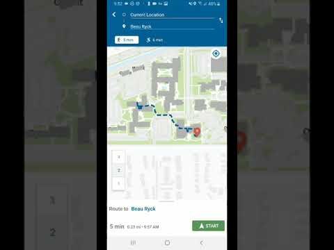
ArcGIS Indoors - Indoor Positioning and Wayfinding
 0:02:27
Indoor Mapping: Exchanging data between ArcGIS Indoors and IMDF
 0:01:12
ArcGIS Indoors - Indoor GIS for Smart Buildings
 0:07:12
ArcGIS Indoors: Publishing Indoor Viewer
 0:01:19
ArcGIS Field Maps: Indoor Mapping
 0:17:41
ArcGIS Indoors: Creating Indoor Geodatabase and Loading CAD Data
 0:02:15
How is GeoComm using Esri’s ArcGIS to do indoor mapping? (7 of 7 videos in series)
 0:07:26
ArcGIS Indoors: Configuring Indoor Categories
 0:04:30
ArcGIS Indoors: Publishing Indoor Mobile Map
 0:54:27
ArcGIS Indoors: Extending ArcGIS Indoors for Smart, Connected Buildings
 0:00:33
ArcGIS Indoors - Enabling Indoor Location Awareness
 0:05:25
ArcGIS Indoors
 0:08:20
(Legacy) Creating Indoor Maps for Mobile and Web Applications
 0:54:59
ArcGIS Indoors: The Developer Story
 0:04:58
Creating a Route Network for ArcGIS Indoors
 0:16:00
ArcGIS Indoors: Der Weg zum Smart Building | Esri Konferenz 2022
 0:11:08
ArcGIS Indoors: Space Planner
 0:00:32
Making Your Hospital More Resilient with ArcGIS Indoors
 0:05:33
ArcGIS Indoors work order management workflow
 1:00:45
ArcGIS Indoors: An Introduction
 0:00:31
ArcGIS Indoors: Improving the Built Environment
 0:05:59
Space Planning for COVID-19 Recovery Using ArcGIS Indoors
Комментарии