filmov
tv
NASA | Laser Mapping The Earth

Показать описание
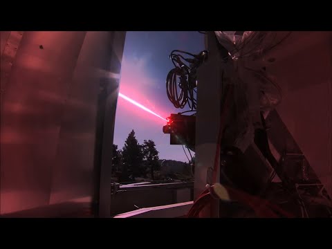
NASA scientist Bryan Blair introduces a laser mapping sensor known as LVIS (the Land, Vegetation, and Ice Sensor), which is flown by aircraft over target areas to collect data on surface topography and vegetation cover. Bryan also discusses the benefits to mounting LVIS onto high-altitude, long-duration aircraft such as the Global Hawk.
Like our videos? Subscribe to NASA's Goddard Shorts HD podcast:
Or find NASA Goddard Space Flight Center on facebook:
Or find us on Twitter:
Like our videos? Subscribe to NASA's Goddard Shorts HD podcast:
Or find NASA Goddard Space Flight Center on facebook:
Or find us on Twitter:
 0:02:58
NASA | Laser Mapping The Earth
 0:02:52
NASA - Laser Mapping The Earth
 0:08:06
NASA needs your help to improve its space laser
 0:02:59
NASA | Laser Focus
 0:02:52
NASA's Laser Communications: To the Space Station and Beyond
 0:00:46
NASA launches lasers at the moon
 0:03:06
NASA's Laser Mission to Measure Trees
 0:01:39
NASA Beams Mona Lisa to the Moon with Laser
 3:00:45
TOP SECRET Materials : NASA found the Dark Pyramid Under Antarctica!
 0:04:22
NASA | Mapping The Future With Landsat
 0:02:52
NASA | Laser Comm: That's a Bright Idea
 0:04:17
NASA | A Laser Scientist Answers 5 Questions About LVIS
 0:00:37
NASA GEDI Mission (Pronounced Jedi) Will Use Laser to Study Earth’s Forests
 0:03:36
NASA | Birth of a Space Laser Instrument
 0:00:16
Mars view in telescope #shorts #space #nasa
 0:02:32
NAU professor using NASA space laser to map out Amazon rainforest
 0:05:54
NASA | LRO: Mapping Our Future
 0:02:21
Nasa Mapping Ice with Airborne Lasers
 0:03:53
NASA launching new laser communication system
 0:03:01
Forget Google Earth! Here comes NASA's 3D Laser Earth!
 0:03:18
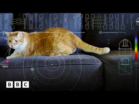
Nasa space lasers beam cat video 19 million miles | BBC Global
 0:02:49
NASA Space Laser Missions Map 16 Years of Ice Sheet Loss
 0:04:11
NASA Views Laser Landscapes of Helheim Glacier
 0:01:09
NASA Launches Infrared Laser Mission That Could Revolutionize Space Communication
Комментарии