filmov
tv
NASA ARSET: Overview of Urban Flooding, Part 1/2
Показать описание
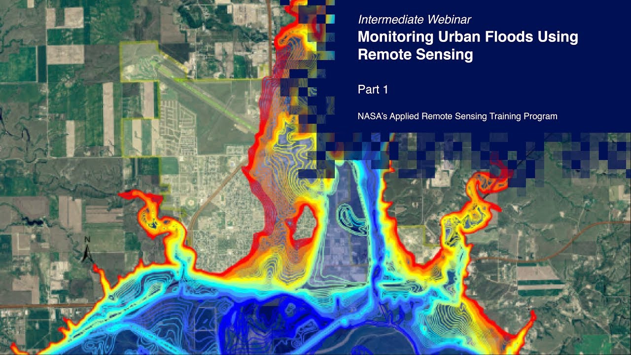
Monitoring Urban Floods Using Remote Sensing
Part One: Overview of Urban Flooding
This session will provide an overview of causes and risks associated with urban flooding. It will also go through data needs for flood management (before, during, and after flooding) and how to use remote sensing to monitor precipitation.
You can access all training materials from this webinar series on the training webpage:
 1:57:30
 1:02:44
 1:33:36
 2:03:02
 1:47:14
 0:53:19
 2:02:42
 1:41:10
 1:33:07
 1:28:18
 1:25:19
 1:01:01
 0:07:54
 1:18:34
 1:31:46
 1:32:16
 1:31:07
 1:12:08
 1:55:23
 0:44:04
 1:29:18
 1:02:57
 2:38:03
 2:06:05