filmov
tv
The compass no one knows how to use

Показать описание
Why does no one know how to use one of the world’s best-selling compasses? The problem stems from two main issues: the extremely poor quality of the instructions provided (from which it appears that even the manufacturers don’t know how to use their own compasses) and the fact that these compasses are essentially outdated designs from the 1930s and early 1950s. These older models are rarely used today by experienced navigators, leading to a gap in practical knowledge and effective usage.
Poor Instructions
The instructions that come with these compasses are notoriously bad. They often lack clarity, detail, and proper illustrations, making it difficult for users to understand how to use the compass correctly. This is a significant barrier, especially for beginners who rely on these instructions to learn basic navigation skills.
Outdated Design
The design of these compasses is based on older models from the mid-20th century. While these designs were innovative at the time, they have been surpassed by more modern and user-friendly designs. Experienced navigators tend to avoid these outdated models, opting instead for more accurate and reliable options.
Brand Variety, Same Issues !
These compasses are sold under various brand names, such as the Bresser National Geographic Compass and the Brunton Military-Style Compass (F-9077). Despite the different branding, they are essentially the same product with only minor cosmetic differences. This means that regardless of the brand, users encounter the same problems with usability and instructions.
Key Differences with Modern Compasses
It's important to highlight how these compasses differ from more modern and widely used models like the Cammenga Lensatic compass. For instance:
• Index Line and Tritium Mark: The Cammenga Lensatic compass features an index line and a tritium mark, which are crucial for precise navigation, especially in low-light conditions. These elements are absent in the older compass models.
• Yellow Lines on the Glass: The older compasses have two yellow lines on the glass, which are not found in the Cammenga model. This difference can be confusing for users who are trying to follow instructions or guides that refer to more modern designs.
Bridging the Knowledge Gap
Given that these compasses have never been adequately explained or demonstrated, I have made this short video to provide a comprehensive guide on their use. By understanding both their historical context and practical application, users can better appreciate their functionality and learn to navigate effectively with these tools.
 0:11:48
The compass no one knows how to use
 0:03:55
The GREATEST Audition of All Time? Grace VanderWaal America's Got Talent Golden Buzzer
 0:00:16
Glueing pearls to my head… WAIT WHAT JUST HAPPENED
 0:15:16
5 Tips and Tricks You Need To Know When Using a Compass
 0:01:01
Compass trick you might NOT know! 🧭
 0:00:08
Infinite chocolate hack #shorts
 0:00:37
He don’t know that this is his last day on earth…😰 #shorts
 0:00:11
quiet kid gets mad
 0:27:16
Dr. Jay Bhattacharya: Food Dye Ban, RFK's Autism Study & Trump's First 100 Days – Dr. ...
 0:03:18
Compass - No One Knows (Official Audio)
 0:08:31
In and Out Navigation: The Easiest Way to Use a Compass
 0:00:19
Would you punch her for 1 Million dollars 💵!?? (1,000,000$)
 0:00:29
5 key signs someone has a crush on you ✨😉
 0:00:16
WHEN I LOST MY EYEBALL 😮
 0:03:59
No One Knows
 0:03:14
Compass - No One Knows (Raw) [Generation Z Riddim] August 2019
 0:00:10
😡 ABCDEFU Piano Tutorial 😡 #Piano #shorts
 0:03:03
Compass 101 - How to Use a Baseplate Compass
 0:06:50
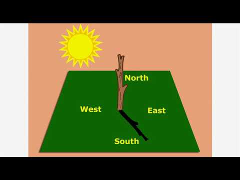
How to navigate without a compass
 0:00:26
Talking corgi LOSES his legs (Part 2) #shorts
 0:00:30
Now was it worth it?! 😁😅
 0:00:26
Dad steals sons icecream to give it to mom then this happens #shorts
 0:01:38
How to Use Your Android Phone as Compass | How to use Digital Compass App
 0:00:59
You NEED to Know How to Read a Compass | You Can't Rely On GPS When The Grid Goes Down | Surviv...
Комментарии