filmov
tv
Getting World Shapefile and Selecting Individual Countries in QGIS

Показать описание
This QGIS tutorial explains how to get world shapefile data with country boundaries and also explains how to select each country using their names.
 0:04:06
Getting World Shapefile and Selecting Individual Countries in QGIS
 0:03:40
How to download any shapefile map [For City or Country]
 0:02:57
How to Extract Smaller Areas From A larger Shapefile in QGIS
 0:01:29
how to clip a shapefile in arcGIS
 0:09:02
How to get Openstreetmap data in shapefile type
 0:02:59
Import shapefile into Google Earth Pro
 0:04:54
How to demarcate a geographic area in Google Earth
 0:03:10
How to Clip any District from Country Shapefile in ArcGIS || Clip Command in GIS
 0:05:52
QGIS Create Shapefile || Shapefile Layer in QGIS
 0:06:23
Download GIS Shapefile Data ( Road, Structure etc.) for Any Country: osm to shapefile
 0:07:03
Download Water body data (Shapefile) Lakes, River, Wetland of any Location
 0:06:45
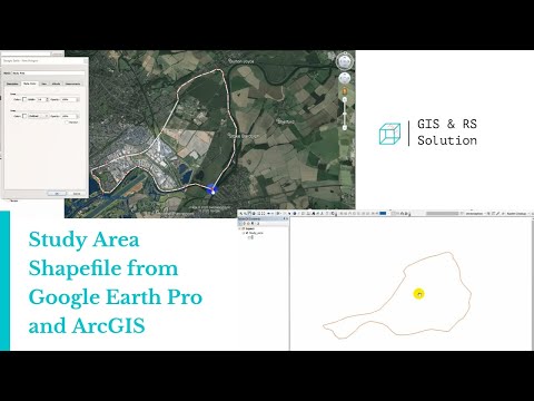
Creating Study Area Shapefile from Google Earth and ArcGIS
 0:35:19
Study area Map using QGIS | Study Area Location Map Preparation | QGIS for beginners - Tutorials |
 0:00:38
How to Give Map Areas an Inner Glow
 0:03:32
ArcGIS Online: Mapping Basics
 0:12:18
Working with attribute table in QGIS Joining tables Population density and preparing choroplate map
 0:17:14
Study Area Mapping | Create Map Layout in ArcGIS
 0:04:47
ArcGIS Pro - Select by Location
 0:11:49
River, Basin, sub basin shapefiles for any area of the world
 0:14:44
Prepare Study Area Map Easily |QGIS
 0:07:00
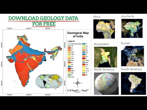
Geology Data, Shapefile for any Location
 0:02:25
How to change Map Projections and Coordinate System of Shapefile in ArcGIS
 0:14:56
How To Make Study Area Map in ArcGIS. Complete Process. #arcgis #studyareamap #civilengineering
 0:02:34
ArcMap Select Points inside a Polygon, Select by location
Комментарии