filmov
tv
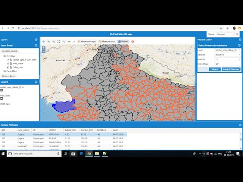
Add GIS functions to WebGIS page i.e Zoomin, Zoom to extent, Measure, featureinfo etc. - part2

Показать описание
This video shows how to develop simple Web GIS application using Geoserver, Openlayers, Geoext and postgis and add GIS functionalities to Web GIS page i.e Zoom in, Zoom Out, Zoom to max extent, Measure, Get feature info etc.
Link for the web GIS application html page:
Develop simple Web GIS application using Geoserver, Openlayers, Geoext and postgis - part1
Link for downloading Openlayers 2.13.1:
Link for downloading GeoExt 2.1.0:
Link for downloading ExtJs 4.2.1:
Link for video showing how to install geoserver with tomcat:
Link for video showing how to Install postgresql with postgis extension and import/export shapefiles from the postgis database
How to Publish shapefiles/raster images using GeoServer
If u face any problem.... please put a comment below......
Later i will upload video extending the application further by adding legend panel to the application and styling the layers using SLD
Add GIS functions to WebGIS page i.e Zoomin, Zoom to extent, Measure, featureinfo etc. - part2
 0:18:20
WebGIS development Add Query panel (Feature query Tool) to WebGIS page - part 3
 0:05:15
EU-LULC WebGIS
 0:18:42
WebGIS Application development (feature editing on web)using Geoserver, Openlayers, GeoExt, Postgis
 0:50:40
ArcGIS API for Python: Administering Your WebGIS
 0:12:02
Creating a web map using qgis2web Plugin in QGIS
 0:23:03
Basic Editing Functions in Simple GIS Client
 1:03:53
09.WebGIS Training- Javascript Functions
 0:28:38
Using Web GIS to Solve Complex Problems and Build the Apps You Need
 0:45:27
Adding GIS functionality to Smoking Model
 0:23:06
GeoServer Security Users Groups Roles and Authentication | 14. Tutorial WebGIS
 0:26:02
Routing functionality in WebGIS using Leaflet
 0:56:18
Web GIS: A Crash Course
 0:50:48
ArcGIS API for Python: Administering Your Web GIS
 1:03:18
ArcGIS Notebooks – Using GIS and Python Notebooks for Workflow Automation
 0:00:46
Web GIS |The CesiumJS (GIS) utilization in Smart Building #cesium #gis #digitaltwin #3dmodeling
 1:19:25
ArcGIS API for Python: Imagery and Raster Analysis on Your WebGIS
 0:35:49
WebGIS Architecture & Strategies
 0:35:30
Enterprise GIS Portal Developed Using PostgreSQL PostGIS, OpenaLayers, GeoServer
 0:46:49
Building Your First Web GIS
 1:01:45
Are You WebGIS Ready for the Next Disaster?
 0:14:23
Adding GeoJSON file to WebGIS application with Attribute Popup and Attribute Filtering.
 0:23:18
#openlayers #webgis GIS with openlayers part5. Add Style icon on openlayers map
 0:23:49
Adding Point, Line and Polygon to WebGIS application with FeatureInfo Popup
Комментарии