filmov
tv
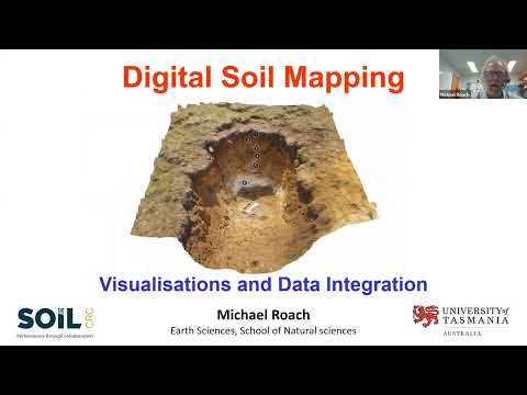
09 Digital Soil Mapping, Visualisations and Data Integration

Показать описание
Dr Michael Roach from the University of Tasmania provides a fascinating look at:
- the latest technologies being employed to capture and render landscape and soil data
- visualising a soil pit from a hole in the ground to a high-tech 3D soil pit
- the world of virtual tours, and the integration of geospatial data in Geographic Information Systems (GIS) for effective soil mapping and outreach.
- Project 2.1.001 A review of indicators of soil health and function: farmers’ needs and data management
- Project 2.2.005 Improved soil data management
- Project 2.3.002 Visualising Australasia’s Soils: extending the soil data federation.
This webinar was recorded in 2021 as part of the ‘Building technical capacity for improved soil management’ webinar series. It was produced by the Soil CRC and jointly funded through the Australian Government’s National Landcare Program.
 0:48:17
 0:22:05
 0:03:50
 0:02:59
 0:59:22
 0:00:53
 0:00:16
 0:00:38
 0:07:34
 0:09:43
 1:12:04
 0:00:16
 0:00:12
 0:00:24
 0:00:34
 0:00:14
 0:00:44
 0:08:03
 0:00:56
 0:02:51
 0:42:32
 1:31:38
 0:00:16
 0:02:19