filmov
tv
Use the SAGA Lake Flood tool to make quick inundation maps in QGIS

Показать описание
This video demonstrates how to use the SAGA Lake Flood tool from the QGIS Processing Toolbox to create quick inundation maps.
#QGISHydro #QGIS #SAGA
#QGISHydro #QGIS #SAGA
 0:04:48
Use the SAGA Lake Flood tool to make quick inundation maps in QGIS
 0:09:21
Tutorial QGIS-Plugin 'Floodplain Inundation Calculator'
 0:03:25
Using SAGA tools in QGIS 3.30 or newer on Windows
 0:00:21
Real Proof That Yeti Actually Exist... 😱 (Explorer got Attacked by Yeti in the mountains!) #Shorts...
 0:13:34
Hochwasserrisiko ermitteln | Wassereinzugsgebiet, Überschwemmungsgebiet berechnen |QGIS | Hydrology
 0:00:16
Man Falls OVERBOARD and Boat Keeps Going! | Wavy Boats | Haulover Inlet
 0:00:28
Moana Died in the Storm Theory
 0:00:26
Mummy Tomb Has Been Opened For The First Time After Being Sealed For 2500 years
 0:00:16
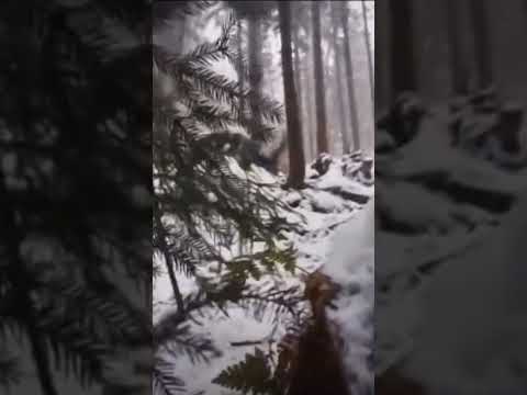
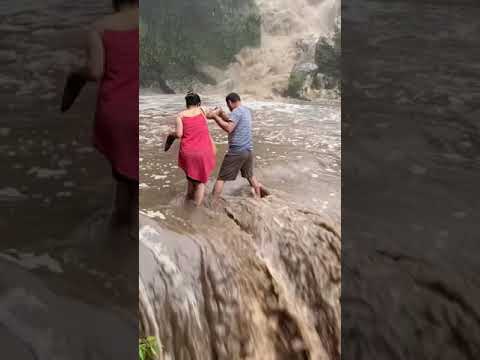
Shocking video: Tourists Rescued from Kempty fall| Mussoorie| Uttarakhand
 0:00:16
Do you want to better your life? #philippines #angelescity #expat #pampanga #travelvlog
 0:05:59
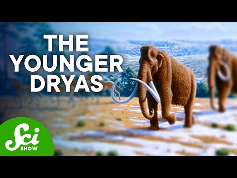
The Catastrophic Flood That Triggered an Ice Age | ft. PBS Eons
 0:09:33
Delineate watershed area in QGIS || Delineate catchment area in QGIS
 0:00:36
Billionaire ZEUS sweet with his lady💞 #monaco #billionaires #supercars #zeus #shorts
 0:02:29
Toronto floods: Reporter helps stranded motorists after road gets washed out
 0:01:01
The WORST Disaster on an Alaska Cruise #alaskacruise #travel #shorts
 0:00:13
Accident on cricket field | #earthquake or #beeattack ? In #ranjitrophy match
 0:00:57
MORE PIER RUNNERS IN COZUMEL! THE FASTEST FLIP FLOP RUNNER IN MEXICO!
 0:00:20
Non Venomous Sand Boa Snake Hunting in the Fields
 0:00:11
This video makes you feel trypophobia 🐝😩 #sfx #sfx_makeup #youtubeshorts #makeup #shorts
 0:01:00
seeing wife face for first time #shorts
 0:00:57
I couldn't believe my eyes that I found it #shorts
 0:31:00
Glacial Lake Missoula Full CC
 0:00:44
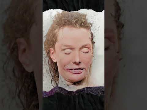
AI Animated Photos of Jack the Ripper's Victim
 0:00:24
Johnny Knoxville and fan go at it!!#johnnyknoxville #wrestlemania38
Комментарии