filmov
tv
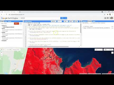
GIS: Filter Sentinel-2 images base on cloud cover over a region of interest
Показать описание
GIS: Filter Sentinel-2 images base on cloud cover over a region of interest
Roel Van de Paar
GIS
Geographic Information Systems
google earth engine
javascript
problem
Рекомендации по теме
0:03:00
GIS: Filter Sentinel-2 images base on cloud cover over a region of interest
0:18:55
Investigating Earth Changes using Sentinel-2 imagery in ArcGIS Online
0:36:02
🛑 Online Training on GEE Filtering and Displaying Satellite Images: Sentinel-2 and Monitoring NDWI...
0:02:30
GIS: Filter out duplicate Sentinel-2 Images form Earth Engine Image Collection by date
0:10:02
Using Sentinel-2 Data in ArcGIS Online to investigate the Kilauea eruptions and beyond
0:47:59
How to filter and Visualization sentinel 2 satellite imagery and Make NDWI map using GEE
0:07:45
How to Download Sentinel 2 image from Copernicus Data Space Ecosystem
0:47:54
🛑Live Google Earth Engine Filtering and Displaying Satellite Images: Landsat, Sentinel using GEE...
1:28:05
Air quality estimation using remote sensing and GIS-spatial technologies
1:24:23
Sentinel and Landsat data processing in ArcGIS Pro
0:11:05
Spectral built-up indices for impervious built-up extraction using Sentinel-2A MSI imageries in GEE
0:02:07
GIS: Finding quality flag in Sentinel-5P data to filter by
0:12:41
#problemsolving class on: How to combine Two images Overlaying into One image in Google Earth Engine
1:17:35
Filtering and Displaying (Landsat, Sentinel) Satellite Images using Google Earth Engine: NDVI , NDWI
0:05:25
Satellite Imagery Clouds Cover Removal in ArcGIS Desktop
1:02:03
Managing Imagery Using Mosaic Datasets and Image Services
0:08:27
Load Sentinel & Landsat Data into QGIS in Seconds (Direct from AWS with the STAC Plugin)
0:00:39
#problemsolving class on Landsat image filtering using Google Earth Engine
0:25:17
AI-Powered Crop Classification Using Hugging Face and Satellite Data
0:02:16
Removing isolated pixels in a classified image in SAGA GIS using Majority Filter
0:16:27
How to calculate NDWI in R | Calculate NDWI with R by Sentinel-2 satellite imagery using rgee
0:08:53
Loading Sentinel-2 data into Google Earth Engine
0:18:30
Supervised Image Classification of Sentinel-2A Imagery in Google Earth Engine | Part - 1
0:29:32
ArcGIS Pro for SAR Data Processing: A Sentinel-1 Tutorial

 0:03:00
 0:18:55
 0:36:02
 0:02:30
 0:10:02
 0:47:59
 0:07:45
 0:47:54
 1:28:05
 1:24:23
 0:11:05
 0:02:07
 0:12:41
 1:17:35
 0:05:25
 1:02:03
 0:08:27
 0:00:39
 0:25:17
 0:02:16
 0:16:27
 0:08:53
 0:18:30
 0:29:32