filmov
tv
GNSS/GPS receiver with Tilt Compensation - Carlson BRx7

Показать описание
Join me on Social Media:
Interested in attending GEOWEEK 2023?
Use code RAMI100 for $100 off a conference pass OR a FREE exhibit hall pass (normally $150).
Chapters:
0:00 Intro
0:29 Setting up the BRx7 on Carlson SurvPC
3:27 Initializing Tilt Compensation
5:30 Accuracy test of Tilt Compensation
7:11 Surveying with SurvPC
About Rami Tamimi:
Rami Tamimi is an American doctorate student at The Ohio State University working towards his Doctor of Philosophy in Geodetic Engineering. With over a decade of experience in the Land Development Industry, his experience revolves around traditional field surveying, civil design work using AutoCAD Civil 3D, and geospatial technology including LiDAR, SONOR, and Photogrammetric data acquisition and processing with the use of Unmanned Aircraft Systems or Drones. He is also a University Instructor and creates instructional video content on YouTube.
#GNSSTilt #Surveying #CarlsonBRx7
 0:10:07
GNSS/GPS receiver with Tilt Compensation - Carlson BRx7
 0:00:26
GNSS/GPS receiver with Tilt Compensation - Carlson BRx7
 0:06:08
Emlid RS3 GNSS: High Precision IMU & Tilt Under $3K! 🚀
 0:00:27
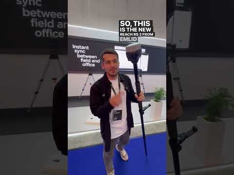
Emlid Reach RS3 GNSS receiver #emlid #surveying #gnss
 0:00:17
Emlid Reach RS3 GNSS Receiver with Tilt Compensation
 0:00:21
Introducing Reach RS3 with tilt compensation
 0:02:33
GNSS TUTORIAL - TILT COMPENSATION FUNCTIONALITY
 0:09:28
How to use the Leica GS18 T GNSS RTK rover
 0:00:42
Leica Geosystems | GS18 T - What does the Tilt Compensation mean for a Surveyor?
 0:03:02
Tilt Compensation- Accuracy and Usability Testing
 0:03:16
Advanced RTK Survey GNSS Receiver - Gintec G40 (Triple-band, AR Stakeout, IMU Tilt Compensation)
 0:11:41
I'm blown away by the Leica GS18I GNSS Receiver
 0:01:40
Introducing Leica iCON GPS 70 T
 0:03:10
R12i Tutorial: Turning On and Off Tilt Compensation
 0:00:07
The tilt function in action
 0:02:31
No Need to Level - Leica GS18 T GNSS RTK Rover
 0:00:17
Introducing the Emlid REACH RS3 #shortvideo
 0:00:31
Handheld GNSS RTK GEORA with Tilt Compensation. Compact surveying equipment. #gnssrtk #gnss
 0:01:43
Kolida k1 pro working with Leica GS18 in UHF
 0:06:15
IMU GNSS Rover Tilt Expectations
 0:01:30
GS18 T Promotional Video
 0:09:28
Leica GS05 GNSS: Tilt Compensation, Hybrid Surveying & Total Station Integration Made Easy!
 0:01:15
Carlson BRx7 GNSS for Surveying and Field Data Collection
 0:02:03
Leica GS18 T with Tilt Compensation
Комментарии