filmov
tv
The UGEARS Curvimeter Adventure

Показать описание
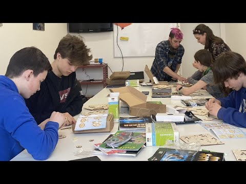
Back in the days before online maps and GPS navigators, explorers of faraway lands, travelers, and romantic souls used good old-fashioned paper maps. How could one measure the distance on a map? After all, roads were not designed to be perfectly straight lines. There were natural barriers, like mountains, rivers, ravines, and forests. There were others, like someone’s properties, which could not be touched. When the scientists of old encountered this challenge, they came up with the device called the ‘curvimeter’, which Ugears recreated in a model bearing the same name.
 0:05:05
 0:00:55
 0:00:43
 0:01:03
 0:01:10
 0:00:55
 0:09:26
 0:05:50
 0:03:36
 0:00:54
 0:00:52
 0:00:38
 0:00:35
 0:01:00
 0:01:28
 0:30:27
 0:00:31
 0:01:07
 0:00:41
 0:01:20
 0:01:16
 0:00:49
 0:01:06
 0:01:33