filmov
tv
High School students analyzing wetlands and wildlife with GIS

Показать описание
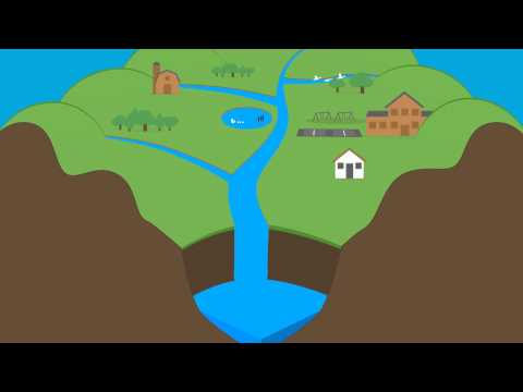
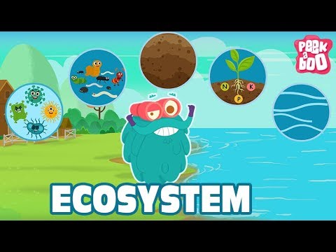
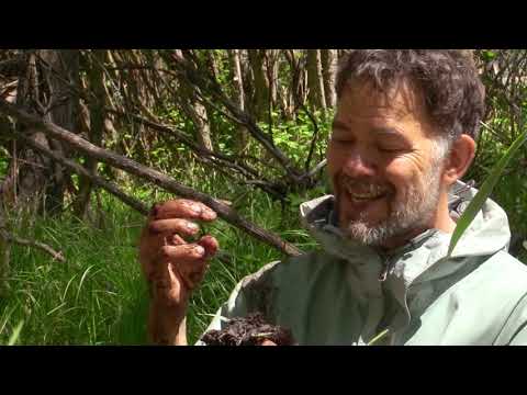
High School students analyzing wetlands and wildlife with GIS, storymaps, field techniques, and more. There is no limit to what students can accomplish with Geographic Information Systems, inquiry, problem-based learning, fieldwork, spatial thinking, and critical thinking!
 0:00:17
 0:00:26
 0:30:06
 0:01:18
 1:40:12
 0:42:25
 0:04:49
 0:02:21
 0:01:32
 0:42:31
 1:35:07
 0:05:37
 2:48:30
 0:08:57
 0:02:14
 0:31:12
 0:03:59
 0:10:03
 0:07:33
 0:59:41
 0:30:40
 0:01:32
 1:11:00
 0:16:18