filmov
tv
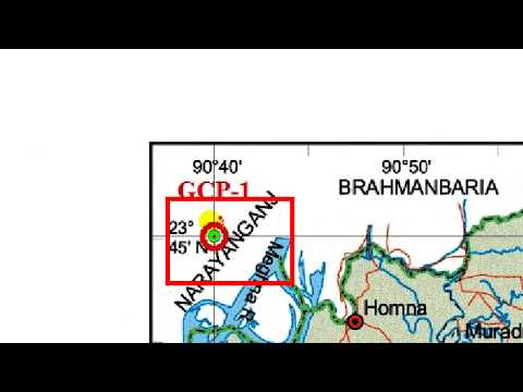
Geo referencing and Digitizing in ArcGIS I Google Earth Pro image Digitizing

Показать описание
This tutorial will help you to learn all about digitizing and georeferencing using Google Earth Pro and ArcGIS. GEP was used for downloaded Image and ArcGIS was used for digitizing and georeferencing. Happy Learning.
01:00 Learning Outcome
04:00 Download the Google Earth Image
07:20 Georeferencing the Downloaded Image
14:20 Digitizing the Georeferenced Image
18:00 Input the relevant Data in the Attribute table
24:00 Map layout Design
30:00 Export the Map
#ArcGIS; #Digitizing; #Georeferencing: #Google Earth Pro
01:00 Learning Outcome
04:00 Download the Google Earth Image
07:20 Georeferencing the Downloaded Image
14:20 Digitizing the Georeferenced Image
18:00 Input the relevant Data in the Attribute table
24:00 Map layout Design
30:00 Export the Map
#ArcGIS; #Digitizing; #Georeferencing: #Google Earth Pro
 0:03:48
Georeferencing JPEG/JPG Image Map or Scanned Map in ArcGIS
 0:25:23
Georeferencing and Digitizing in ArcMap
 0:07:23
Georeferencing and Digitizing process in QGIS
 0:10:15
Geo-Referencing and Digitization
 0:31:36
Geo referencing and Digitizing in ArcGIS I Google Earth Pro image Digitizing
 0:17:24
GIS(QGIS) Georeferencing and Digitizing (Part-1: Georeferencing)
 0:18:15
Georeferencing and Digitizing Scanned Maps using QGIS Part 1
 0:10:12
Georeferencing and digitizing new features in QGIS
 0:21:33
Georeferencing and Digitization in ArcGIS
 0:14:30
Georeferencing and Digitization in ArcMap || Hindi Urdu ||
 0:03:21
Georeferencing in QGIS and Digitizing in QGIS: Step 1: How to scan your paper map
 0:16:53
Georeferencing and Digitizing in ArcMap
 0:23:21
Georeferencing an Image or a Scanned Map using ArcGIS Pro
 0:14:40
HTY 599 - Georeferencing & Digitizing (Tutorial 1/2)
 0:08:15
How to Georeference a Khasra/Cadastal Map in Arcgis.
 0:19:13
Georeferencing Downloaded Image (Map) in ArcGIS For Digitizing | Scanned Map | ArcMap | GIS TUTORIAL
 0:17:07
GIS(QGIS) Georeferencing and Digitizing (Part-2: Digitizing)
 0:16:23
Master the Digitizing in 15 Minutes | ArcGIS In-Depth Tutorial
 0:13:39
How to Georeference a Map (PDF/JPEG) in QGIS
 0:11:04
Geo-referencing and digitizing process in ArcGIS 10.5
 0:45:11
Basics of Georeferencing and Digitizing in QGIS
 0:24:43
Video1: Georeferencing and Digitizing a Scanned Map using ArcGIS
 0:01:36
Georeferencing in QGIS and Digitizing in QGIS: Course Overview
 0:06:45
Georeferencing in QGIS & Digitizing in QGIS: Step 6 On-screen digitize from a georeferenced back...
Комментарии