filmov
tv
Adding HEC GeoRAS extension to ArcGis

Показать описание
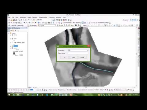
HEC-GeoRAS is a GIS extension that provides the user with a set of procedures, tools, and utilities for the preparation of GIS data for import into HEC-RAS and generation of GIS data from RAS output
 0:02:38
Adding HEC GeoRAS extension to ArcGis
 0:01:52
Adding HEC GeoHMS Extension to ArcGIS 10.2
 1:09:11
How To Set Up HEC-RAS Model From Raster DEM Using HEC-GeoRAS
 0:14:02
GIS and HEC-GeoRAS || HEC-GeoRAS to HEC-RAS|| Floodplain with hecgeoras
 0:02:27
How to put discharge in HEC-RAS
 0:30:26
[HEC GEO RAS #1] STEP BY STEP HEC GEO RAS PRE PROCESSING TUTORIAL IN ARCGIS |STEP 1
 0:01:07
Hydraulic Modelling Training Course with HecRas and ArcGis 10 (GeoRas)
 0:02:41
Adding a GIS Shapefile to a HEC-RAS Model | CivilGEO
 0:12:07
HEC Georas Tutorial 1 ,Floodplain Map
 0:08:00
HEC Georas Tutorial 6 ,Floodplain Map,Exporting model to GIS
 0:01:12
Activar extensiones y Hec Geo HMS
 0:13:55
Complete HEC-RAS 2D Flow Modelling Tutorial in 14 minutes| Unsteady Flood Model |No GeoRAS and TIN
 0:04:45
How To Download And Install HEC RAS | Engineering Helpline | Shekhar Nath Chapagain
 0:01:29
Tutorial 1:How to Install Hec Ras For Free
 0:48:03
Generating River Geometry data to HEC_RAS by ArcGIS from DEM
 0:32:49
HEC-RAS Sedimentation modelling | ArcGIS | geometry Created on HEC- GeoRAS
 0:05:19
Export Sections HEC RAS Command - LSS Tutorial
 0:02:51
HEC-RAS Terrain from DEM file to do Dam Breach Analyses
 0:01:07
HEC Geo-RAS y HEC Geo-HMS para ArcGIS 10.4 - Arcgis online
 0:03:30
ArcGIS and Hec-Georas: River Cross Sections | HEC-RAS | Part 4 of 5
 0:11:59
[HEC GEO RAS #3] FLOOD MAPPING IN HEC GEO RAS STEP BY STEP | POST PROCESSING AFTER HEC RAS
 0:05:47
ArcGIS and Hec-Georas: River Cross Sections | HEC-RAS | Part 1 of 5
 0:02:06
ArcGIS and Hec-Georas: River Cross Sections | HEC-RAS | Part 3 of 5
 0:19:12
Determine and Add Reservoir Location in HEC GEOHMS 10 of 19
Комментарии