filmov
tv
Calculation of Latitude and Longitude of point features using ArcMAP

Показать описание
Hi viewers,
Today you will come to know the process of calculation of latitude and longitude of point feature using arcgis. You can calculate geometry using Calculate Geometry.
Steps to follow:
- Open point data in ArcMAP
- Right click on point feature to open the attribute table,
- Go to table option to add a new field called Latitude, select type as double, make it ok.
- Then add another field called Longitude by the same way.
- Right click on the Latitude field and click Calculate Geometry.
- Set the Property to be the Y Coordinate of Point, see the geometry. click ok. - Then do the same for the Longitude except select the X Coordinate of Point.
Thank you!
 0:03:01
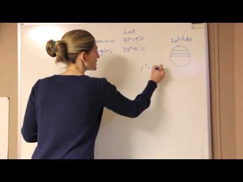
Calculating Distance (in degrees) with Latitude
 0:05:49
What Are Latitude & Longitude? | Locating Places On Earth | The Dr Binocs Show | Peekaboo Kidz
 0:07:02
Latitude and Longitude Practice
 0:10:03
LONGITUDES AND LATITUDES | Introduction.
 0:11:11
Determine Longitude
 0:00:34
Calculate latitude and departure using calculator
 0:14:51
Understanding Latitude and Longitude and Using Degrees Minutes and Seconds on Maps
 0:31:51
MATHS: Longitude & Latitudes
 0:04:08
How to read Latitude and Longitude Coordinates
 0:00:38
Math: latitude and longitude. #olympiad #math #subscribe #latitudeandlongitude
 0:04:48
LATITUDE AND LONGITUDE || SOCIAL STUDIES || HOW TO FIND THE COORDINATES ON THE EARTH || GEOGRAPHY
 0:27:20
How to Calculate Time/ Longitude | ICSE Class 9 Geography | @Sir Tarun Rupani
 0:05:13
Latitude and Longitude | Using Coordinates to Find Places on a Map
 0:07:31
Latitude and Longitude Explained (Aviation) Private Pilot Ground Lesson 24
 1:55:13
Longitudes and Latitudes - Form 4 Mathematics EasyElimu
 0:04:20
Calculate the distance between two sets of latitude and longitude coordinates
 0:03:58
Latitude and Longitude | Time Zones | Video for Kids
 0:14:51
LONGITUDES AND TIME
 0:00:16
Latitude & Longitude explained by Capt.Neha Thakare...Disclaimer : This reel is to cover th
 0:12:53
Latitude and longitude coordinates
 0:12:41
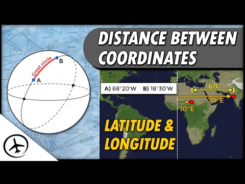
How to Determine the Distance Between Geographic Coordinates?
 0:15:20
How to find Latitude and Longitude
 0:06:04
Locating places using latitudes and longitudes
 0:07:26
How to Find Latitude and Longitude without GPS | Intro to coordinate systems
Комментарии