filmov
tv
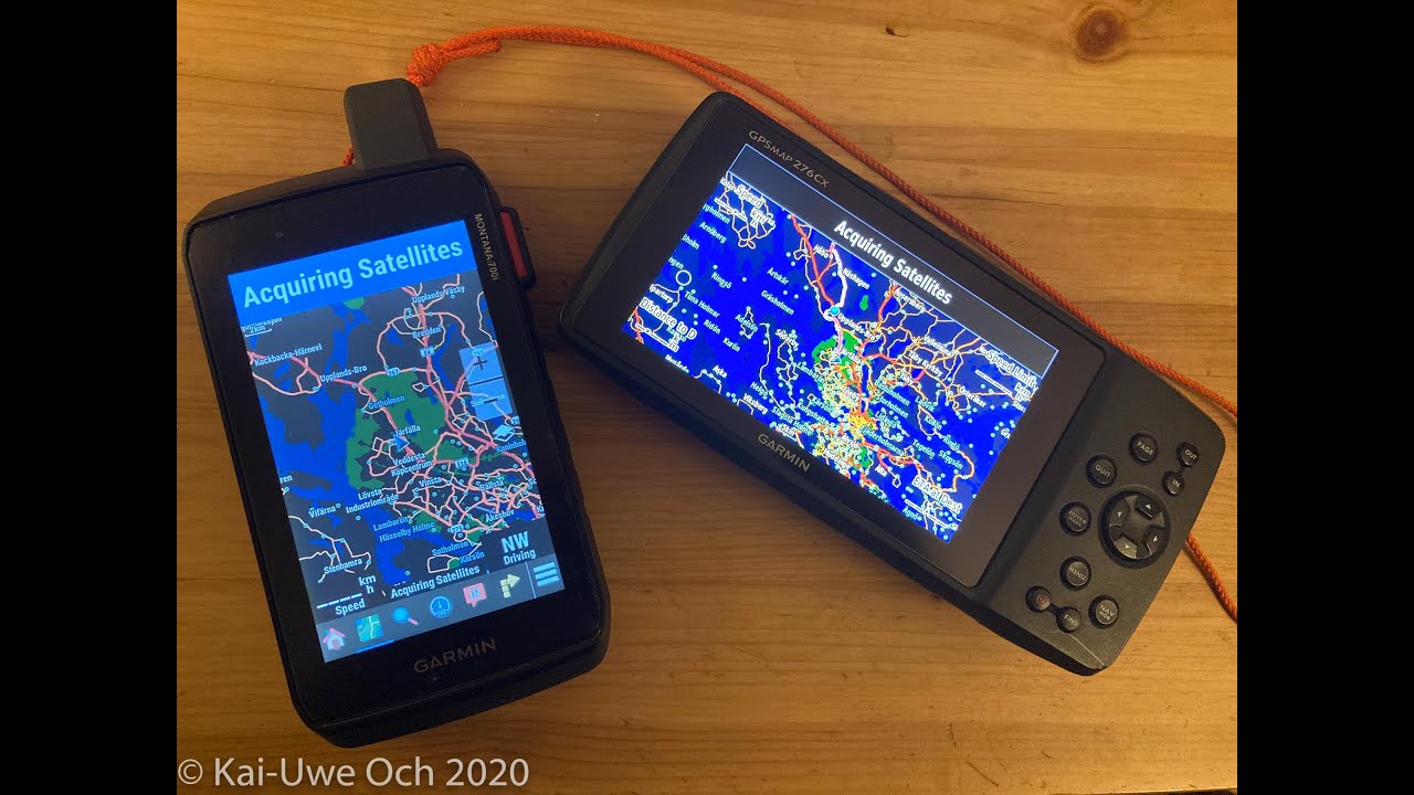
Garmin 276cx and Montana 700i routing comparison
Показать описание
Can the Montana 700 use shaping points, like the 276cx does?
 0:14:01
Every ADV Rider Should Have This: Garmin Montana 700i
 0:11:46
Garmin 276cx and Montana 700i routing comparison
 0:26:53
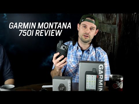
In-Depth Garmin Montana 750i, 700i, 700 Review
 0:07:20
Which Garmin GPS for me ? - What GPS suits my travels and my Pocket ?
 0:06:31
Garmin Montana 700i Tested & Reviewed
 0:05:56
Choose your way out with the Montana® 700 | 700i | 750i – Garmin® Retail Training
 0:13:14
Garmin Montana 700i review
 0:24:05
GARMIN MONTANA 750i review. The Good, bad and ugly...
 0:04:39
Garmin Montana 750i Product Review by GoWild (2021)
 0:01:12
Garmin Montana 700i Honest Review
 0:13:48
Garmin Montana 700/ 700i and 750i – review and 7 most asked FAQ's
 0:45:20
The Garmin Montana 700i review for trail, dualsport and adventure motorcycling
 0:03:36
Garmin Montana 700i series GPS with InReach Review by SA4x4
 0:04:05
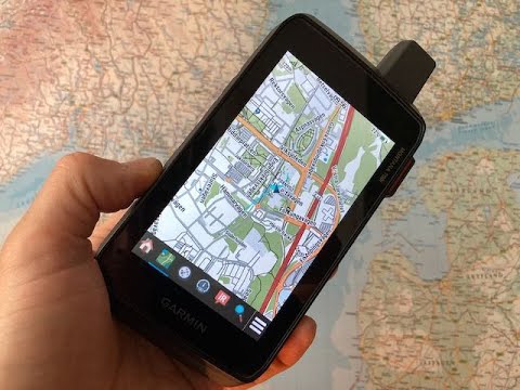
Garmin Montana 700i - Maps
 0:08:38
Montana 700 Map buildup speed
 0:00:57
GPSMAP 66i vs Montana 700i
 0:00:41
Garmin® Montana 700 Series Handheld GPS
 0:04:19
Garmin Montana 700 700i 750i - How To Setup For Automobile Highway Driving
 0:20:03
Garmin Montana 700i - Unboxing, General Overview, Connect to Computer & Mobile Device, Install M...
 0:07:44
Garmin Montana 700 - first impressions
 0:22:14
Garmin Montana 700i Tracks and Activities
 0:08:50
GPSMAP 66i vs Montana 700i
 0:00:59
Garmin Montana 700i SOS Test
 0:10:15
THE ONE ACCESSORY YOU NEED! Garmin Montana 700i w/inreach technology!
Комментарии