filmov
tv
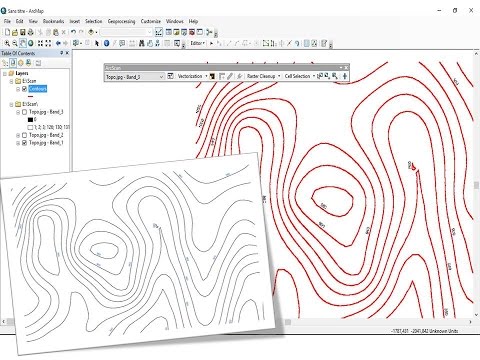
Convert Raster to Shapefile ( Polygon) & Calculate Area Using ArcGIS

Показать описание
Convert Raster to Shapefile (Polygon) & Calculate Area using ArcGIS. Its is essential techniques used during land use and land cover area calculation.
Thank You.
#imagetolayer
#Shapefile
#rastertoshapefile
#ArcGIS
#Mapping
#Areacalculation
Thank You.
#imagetolayer
#Shapefile
#rastertoshapefile
#ArcGIS
#Mapping
#Areacalculation
 0:04:57
Convert Raster to Shapefile ( Polygon) & Calculate Area Using ArcGIS
 0:10:01
Reclassify & Convert Raster to Shapefile ( Polygon) & Calculate Area Using ArcGIS
 0:12:20
Reclassify & Convert Raster to Shapefile || Shapefile Creation from DEM || GIS Tutorials
 0:04:35
how to convert Raster to polygone in ArcGIS 10.8
 0:03:18
Reclassify & Convert Raster to Shapefile/Polygon using QGIS
 0:00:28
#33 QGIS - Convert Raster to Vector
 0:05:54
Raster to Shapefile Conversion: Step-by-Step Tutorial for GIS Beginners
 0:02:31
Shapefile to Raster Conversion in ArcGIS
 0:09:46
Reclassify and Convert Raster to Polygon Shapefile & Calculate Area Using ArcGIS Pro
 0:12:51
How to convert a raster file into a shapefile using QGIS
 0:01:06
Converting Raster to Vector in QGIS
 0:03:57
How to create boundary line shapefile from raster Image II Retrieve raster image to boundary polygon
 0:06:05
Converting Raster data to Shapefile in ArcGIS || #arcgistutorial for beginners
 0:08:30
Convertir raster en shapefile et calcul de surface / Convert raster in shapefile and area statistic
 0:04:14
Spatial Analysis 9 of 13: Converting Raster to Vector Data in ArcGIS
 0:01:42
Convert Raster to Vector format in ArcGIS|| Raster to Shapefile (Polygon)||
 0:01:52
How to convert raster to polygon in ArcGIS
 0:02:22
How to Convert Shapefile To Raster in ArcGIS/ArcMap
 0:08:23
how to Reclassify and Convert Raster Image to Polygone Shapefile using ArcGIS
 0:06:42
How to Reclassify & Convert Raster DEM to Shapefile or Polygon & Smooth Contour Lines Using ...
 0:21:29
Converting raster file into a shapefile using python
 0:01:56
create shapefile from photo
 0:04:37
How to convert scanned image to shapefile in Arcgis
 0:09:20
ArcGIS Pro Walkthrough - Converting a Shapefile to Raster
Комментарии